Pajay
Pajay | |
|---|---|
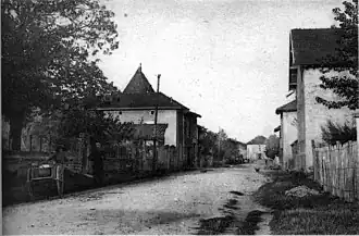 Pajay in 1920 | |
Location of Pajay | |
 Pajay  Pajay | |
| Coordinates: 45°21′53″N 5°08′24″E / 45.3647°N 5.14°E | |
| Country | France |
| Region | Auvergne-Rhône-Alpes |
| Department | Isère |
| Arrondissement | Vienne |
| Canton | Bièvre |
| Government | |
| • Mayor (2020–2026) | Bernard Bajat[1] |
Area 1 | 14.32 km2 (5.53 sq mi) |
| Population (2022)[2] | 1,052 |
| • Density | 73/km2 (190/sq mi) |
| Time zone | UTC+01:00 (CET) |
| • Summer (DST) | UTC+02:00 (CEST) |
| INSEE/Postal code | 38291 /38260 |
| Elevation | 270–410 m (890–1,350 ft) |
| 1 French Land Register data, which excludes lakes, ponds, glaciers > 1 km2 (0.386 sq mi or 247 acres) and river estuaries. | |
Pajay (French pronunciation: [paʒɛ]) is a commune in the Isère department in southeastern France.[3] It is about 50 km southeast of Lyon.
Population
| Year | Pop. | ±% p.a. |
|---|---|---|
| 1968 | 583 | — |
| 1975 | 706 | +2.77% |
| 1982 | 798 | +1.77% |
| 1990 | 736 | −1.01% |
| 1999 | 796 | +0.87% |
| 2009 | 1,029 | +2.60% |
| 2014 | 1,122 | +1.75% |
| 2020 | 1,119 | −0.04% |
| Source: INSEE[4] | ||
See also
References
Wikimedia Commons has media related to Pajay.
- ^ "Répertoire national des élus: les maires". data.gouv.fr, Plateforme ouverte des données publiques françaises (in French). 9 August 2021.
- ^ "Populations de référence 2022" (in French). The National Institute of Statistics and Economic Studies. 19 December 2024.
- ^ INSEE commune file
- ^ Population en historique depuis 1968, INSEE