Le Seure
Le Seure | |
|---|---|
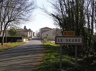 The road into Le Seure | |
Location of Le Seure | |
 Le Seure  Le Seure | |
| Coordinates: 45°47′24″N 0°21′56″W / 45.79000°N 0.36556°W | |
| Country | France |
| Region | Nouvelle-Aquitaine |
| Department | Charente-Maritime |
| Arrondissement | Saintes |
| Canton | Chaniers |
| Intercommunality | CA Saintes |
| Government | |
| • Mayor (2020–2026) | Sylvie Churlaud[1] |
Area 1 | 5.68 km2 (2.19 sq mi) |
| Population (2022)[2] | 275 |
| • Density | 48/km2 (130/sq mi) |
| Time zone | UTC+01:00 (CET) |
| • Summer (DST) | UTC+02:00 (CEST) |
| INSEE/Postal code | 17426 /17770 |
| Elevation | 11–26 m (36–85 ft) |
| 1 French Land Register data, which excludes lakes, ponds, glaciers > 1 km2 (0.386 sq mi or 247 acres) and river estuaries. | |
Le Seure (French pronunciation: [lə sœʁ]) is a commune in the Charente-Maritime department in southwestern France.
Population
| Year | Pop. | ±% |
|---|---|---|
| 1962 | 231 | — |
| 1968 | 239 | +3.5% |
| 1975 | 215 | −10.0% |
| 1982 | 203 | −5.6% |
| 1990 | 207 | +2.0% |
| 1999 | 214 | +3.4% |
| 2008 | 242 | +13.1% |
See also
References
- ^ "Répertoire national des élus: les maires" (in French). data.gouv.fr, Plateforme ouverte des données publiques françaises. 13 September 2022.
- ^ "Populations de référence 2022" (in French). The National Institute of Statistics and Economic Studies. 19 December 2024.
External links
 Media related to Le Seure at Wikimedia Commons