Chermignac
Chermignac | |
|---|---|
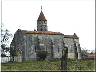 The church in Chermignac | |
Location of Chermignac | |
 Chermignac  Chermignac | |
| Coordinates: 45°41′03″N 0°40′14″W / 45.6842°N 0.6706°W | |
| Country | France |
| Region | Nouvelle-Aquitaine |
| Department | Charente-Maritime |
| Arrondissement | Saintes |
| Canton | Thénac |
| Intercommunality | CA Saintes |
| Government | |
| • Mayor (2020–2026) | Jean-Michel Rouger[1] |
Area 1 | 13.43 km2 (5.19 sq mi) |
| Population (2022)[2] | 1,274 |
| • Density | 95/km2 (250/sq mi) |
| Time zone | UTC+01:00 (CET) |
| • Summer (DST) | UTC+02:00 (CEST) |
| INSEE/Postal code | 17102 /17460 |
| Elevation | 25–68 m (82–223 ft) |
| 1 French Land Register data, which excludes lakes, ponds, glaciers > 1 km2 (0.386 sq mi or 247 acres) and river estuaries. | |
Chermignac (French pronunciation: [ʃɛʁmiɲak]) is a commune in the Charente-Maritime department in southwestern France.
Population
| Year | Pop. | ±% p.a. |
|---|---|---|
| 1968 | 556 | — |
| 1975 | 587 | +0.78% |
| 1982 | 862 | +5.64% |
| 1990 | 968 | +1.46% |
| 1999 | 1,015 | +0.53% |
| 2009 | 1,228 | +1.92% |
| 2014 | 1,261 | +0.53% |
| 2020 | 1,271 | +0.13% |
| Source: INSEE[3] | ||
See also
References
- ^ "Répertoire national des élus: les maires" (in French). data.gouv.fr, Plateforme ouverte des données publiques françaises. 13 September 2022.
- ^ "Populations de référence 2022" (in French). The National Institute of Statistics and Economic Studies. 19 December 2024.
- ^ Population en historique depuis 1968, INSEE
External links
 Media related to Chermignac at Wikimedia Commons