Chartuzac
Chartuzac | |
|---|---|
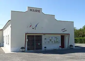 The town hall in Chartuzac | |
Location of Chartuzac | |
 Chartuzac  Chartuzac | |
| Coordinates: 45°20′24″N 0°25′00″W / 45.34°N 0.4167°W | |
| Country | France |
| Region | Nouvelle-Aquitaine |
| Department | Charente-Maritime |
| Arrondissement | Jonzac |
| Canton | Les Trois Monts |
| Intercommunality | Haute-Saintonge |
| Government | |
| • Mayor (2020–2026) | Pierre Plat[1] |
Area 1 | 2.38 km2 (0.92 sq mi) |
| Population (2022)[2] | 164 |
| • Density | 69/km2 (180/sq mi) |
| Time zone | UTC+01:00 (CET) |
| • Summer (DST) | UTC+02:00 (CEST) |
| INSEE/Postal code | 17092 /17130 |
| Elevation | 57–100 m (187–328 ft) (avg. 100 m or 330 ft) |
| 1 French Land Register data, which excludes lakes, ponds, glaciers > 1 km2 (0.386 sq mi or 247 acres) and river estuaries. | |
Chartuzac (French pronunciation: [ʃaʁtyzak]) is a commune in the Charente-Maritime department in southwestern France.
Population
| Year | Pop. | ±% p.a. |
|---|---|---|
| 1968 | 181 | — |
| 1975 | 158 | −1.92% |
| 1982 | 199 | +3.35% |
| 1990 | 167 | −2.17% |
| 1999 | 137 | −2.18% |
| 2009 | 166 | +1.94% |
| 2014 | 159 | −0.86% |
| 2020 | 164 | +0.52% |
| Source: INSEE[3] | ||
See also
References
- ^ "Répertoire national des élus: les maires". data.gouv.fr, Plateforme ouverte des données publiques françaises (in French). 9 August 2021.
- ^ "Populations de référence 2022" (in French). The National Institute of Statistics and Economic Studies. 19 December 2024.
- ^ Population en historique depuis 1968, INSEE
External links
 Media related to Chartuzac at Wikimedia Commons