Haubourdin
Haubourdin | |
|---|---|
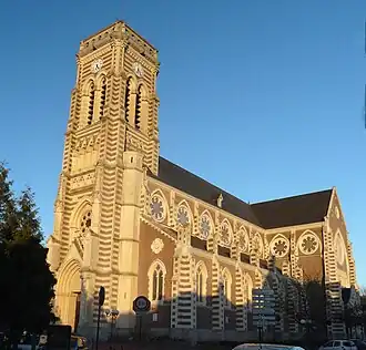 The church in Haubourdin | |
_Nord-France.svg.png) Coat of arms | |
Location of Haubourdin | |
 Haubourdin  Haubourdin | |
| Coordinates: 50°36′35″N 2°59′16″E / 50.6097°N 2.9878°E | |
| Country | France |
| Region | Hauts-de-France |
| Department | Nord |
| Arrondissement | Lille |
| Canton | Faches-Thumesnil |
| Intercommunality | Métropole Européenne de Lille |
| Government | |
| • Mayor (2020–2026) | Pierre Beharelle[1] |
Area 1 | 5.31 km2 (2.05 sq mi) |
| Population (2022)[2] | 14,922 |
| • Density | 2,800/km2 (7,300/sq mi) |
| Time zone | UTC+01:00 (CET) |
| • Summer (DST) | UTC+02:00 (CEST) |
| INSEE/Postal code | 59286 /59320 |
| Elevation | 17–35 m (56–115 ft) (avg. 23 m or 75 ft) |
| 1 French Land Register data, which excludes lakes, ponds, glaciers > 1 km2 (0.386 sq mi or 247 acres) and river estuaries. | |
Haubourdin (French pronunciation: [obuʁdɛ̃]) is a commune in the Nord department in northern France. It is part of the Métropole Européenne de Lille.[3]
Population
| Year | Pop. | ±% p.a. |
|---|---|---|
| 1968 | 12,106 | — |
| 1975 | 14,552 | +2.66% |
| 1982 | 14,497 | −0.05% |
| 1990 | 14,321 | −0.15% |
| 1999 | 14,965 | +0.49% |
| 2007 | 14,726 | −0.20% |
| 2012 | 14,498 | −0.31% |
| 2017 | 14,936 | +0.60% |
| Source: INSEE[4] | ||
Heraldry
|
The arms of Haubourdin are blazoned : Gules, a lion Or, armed, langued and crowned azure. (Aix-en-Pévèle, Emmerin, and use the same arms.)
|
See also
References
- ^ "Répertoire national des élus: les maires" (in French). data.gouv.fr, Plateforme ouverte des données publiques françaises. 13 September 2022.
- ^ "Populations de référence 2022" (in French). The National Institute of Statistics and Economic Studies. 19 December 2024.
- ^ INSEE commune file
- ^ Population en historique depuis 1968, INSEE
Wikimedia Commons has media related to Haubourdin.