Colleret
Colleret | |
|---|---|
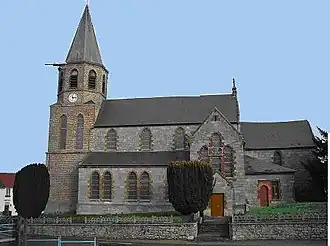 The church in Colleret | |
.svg.png) Coat of arms | |
Location of Colleret | |
 Colleret  Colleret | |
| Coordinates: 50°15′26″N 4°04′36″E / 50.2572°N 4.0767°E | |
| Country | France |
| Region | Hauts-de-France |
| Department | Nord |
| Arrondissement | Avesnes-sur-Helpe |
| Canton | Fourmies |
| Intercommunality | CA Maubeuge Val de Sambre |
| Government | |
| • Mayor (2024–2026) | Claude Menissez[1] |
Area 1 | 18.79 km2 (7.25 sq mi) |
| Population (2022)[2] | 1,551 |
| • Density | 83/km2 (210/sq mi) |
| Time zone | UTC+01:00 (CET) |
| • Summer (DST) | UTC+02:00 (CEST) |
| INSEE/Postal code | 59151 /59680 |
| Elevation | 138–214 m (453–702 ft) (avg. 181 m or 594 ft) |
| 1 French Land Register data, which excludes lakes, ponds, glaciers > 1 km2 (0.386 sq mi or 247 acres) and river estuaries. | |
Colleret (French pronunciation: [kɔlʁɛ]) is a commune of the Nord department in northern France.[3]
Heraldry
|
The arms of Colleret are blazoned : Or, 3 chevrons sable. (Bersillies, Boeschepe, Boussières-sur-Sambre, , Cousolre, Flaumont-Waudrechies, Hautmont, Limont-Fontaine, Lompret, Masny, Neuville-en-Avesnois and Saint-Rémy-du-Nord use the same arms.)
|
See also
References
- ^ "Répertoire national des élus: les maires" (in French). data.gouv.fr, Plateforme ouverte des données publiques françaises. 12 March 2025.
- ^ "Populations de référence 2022" (in French). The National Institute of Statistics and Economic Studies. 19 December 2024.
- ^ INSEE commune file
Wikimedia Commons has media related to Colleret.