Parata
Parata | |
|---|---|
Location of Parata | |
 Parata 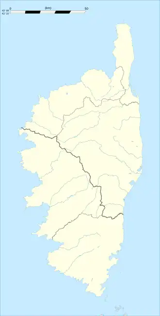 Parata | |
| Coordinates: 42°22′15″N 9°24′34″E / 42.3708°N 9.4094°E | |
| Country | France |
| Region | Corsica |
| Department | Haute-Corse |
| Arrondissement | Corte |
| Canton | Castagniccia |
| Government | |
| • Mayor (2020–2026) | Laurence Leoni Maziere[1] |
Area 1 | 2.83 km2 (1.09 sq mi) |
| Population (2022)[2] | 25 |
| • Density | 8.8/km2 (23/sq mi) |
| Time zone | UTC+01:00 (CET) |
| • Summer (DST) | UTC+02:00 (CEST) |
| INSEE/Postal code | 2B202 /20229 |
| Elevation | 417–1,248 m (1,368–4,094 ft) (avg. 550 m or 1,800 ft) |
| 1 French Land Register data, which excludes lakes, ponds, glaciers > 1 km2 (0.386 sq mi or 247 acres) and river estuaries. | |
Parata (French pronunciation: [paʁata]; Corsican: A Parata) is a commune in the Haute-Corse department of France on the island of Corsica.
Population
| Year | Pop. | ±% |
|---|---|---|
| 1962 | 3 | — |
| 1968 | 50 | +1566.7% |
| 1975 | 45 | −10.0% |
| 1982 | 35 | −22.2% |
| 1990 | 25 | −28.6% |
| 1999 | 27 | +8.0% |
| 2008 | 32 | +18.5% |
See also
References
- ^ "Répertoire national des élus: les maires". data.gouv.fr, Plateforme ouverte des données publiques françaises (in French). 2 December 2020.
- ^ "Populations de référence 2022" (in French). The National Institute of Statistics and Economic Studies. 19 December 2024.
Wikimedia Commons has media related to Parata.