Marclopt
Marclopt | |
|---|---|
Commune | |
 | |
.svg.png) Coat of arms | |
Location of Marclopt | |
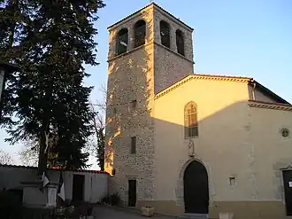
 Marclopt  Marclopt | |
| Coordinates: 45°39′57″N 4°12′37″E / 45.6658°N 4.2103°E | |
| Country | France |
| Region | Auvergne-Rhône-Alpes |
| Department | Loire |
| Arrondissement | Montbrison |
| Canton | Feurs |
| Intercommunality | Forez-Est |
| Government | |
| • Mayor (2020–2026) | Catherine Eyraud[1] |
Area 1 | 8.43 km2 (3.25 sq mi) |
| Population (2022)[2] | 550 |
| • Density | 65/km2 (170/sq mi) |
| Time zone | UTC+01:00 (CET) |
| • Summer (DST) | UTC+02:00 (CEST) |
| INSEE/Postal code | 42135 /42210 |
| Elevation | 335–363 m (1,099–1,191 ft) (avg. 352 m or 1,155 ft) |
| 1 French Land Register data, which excludes lakes, ponds, glaciers > 1 km2 (0.386 sq mi or 247 acres) and river estuaries. | |
Marclopt (French pronunciation: [maʁklo]) is a commune in the Loire department in central France.
Population
| Year | Pop. | ±% p.a. |
|---|---|---|
| 1968 | 184 | — |
| 1975 | 196 | +0.91% |
| 1982 | 258 | +4.00% |
| 1990 | 288 | +1.38% |
| 1999 | 359 | +2.48% |
| 2009 | 490 | +3.16% |
| 2014 | 504 | +0.57% |
| 2020 | 543 | +1.25% |
| Source: INSEE[3] | ||
See also
References
- ^ "Répertoire national des élus: les maires" (in French). data.gouv.fr, Plateforme ouverte des données publiques françaises. 13 September 2022.
- ^ "Populations de référence 2022" (in French). The National Institute of Statistics and Economic Studies. 19 December 2024.
- ^ Population en historique depuis 1968, INSEE
Wikimedia Commons has media related to Marclopt.