Dieulivol
Dieulivol | |
|---|---|
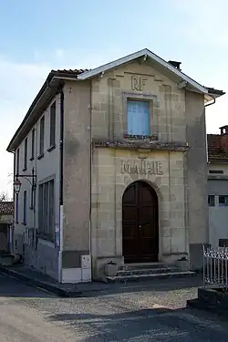 Town hall | |
Location of Dieulivol | |
 Dieulivol  Dieulivol | |
| Coordinates: 44°40′29″N 0°06′41″E / 44.6747°N 0.1114°E | |
| Country | France |
| Region | Nouvelle-Aquitaine |
| Department | Gironde |
| Arrondissement | Langon |
| Canton | Le Réolais et Les Bastides |
| Government | |
| • Mayor (2020–2026) | Bernard Dalla-Longa[1] |
Area 1 | 10.47 km2 (4.04 sq mi) |
| Population (2022)[2] | 335 |
| • Density | 32/km2 (83/sq mi) |
| Time zone | UTC+01:00 (CET) |
| • Summer (DST) | UTC+02:00 (CEST) |
| INSEE/Postal code | 33150 /33580 |
| Elevation | 22–111 m (72–364 ft) (avg. 80 m or 260 ft) |
| 1 French Land Register data, which excludes lakes, ponds, glaciers > 1 km2 (0.386 sq mi or 247 acres) and river estuaries. | |
Dieulivol (French pronunciation: [djølivɔl]; Occitan: Diulivòl) is a commune in the Gironde department in southwestern France.
Population
| Year | Pop. | ±% |
|---|---|---|
| 1962 | 245 | — |
| 1968 | 332 | +35.5% |
| 1975 | 266 | −19.9% |
| 1982 | 232 | −12.8% |
| 1990 | 248 | +6.9% |
| 1999 | 263 | +6.0% |
| 2008 | 262 | −0.4% |
See also
References
- ^ "Répertoire national des élus: les maires" (in French). data.gouv.fr, Plateforme ouverte des données publiques françaises. 13 September 2022.
- ^ "Populations de référence 2022" (in French). The National Institute of Statistics and Economic Studies. 19 December 2024.
Wikimedia Commons has media related to Dieulivol.