Berthez
Berthez | |
|---|---|
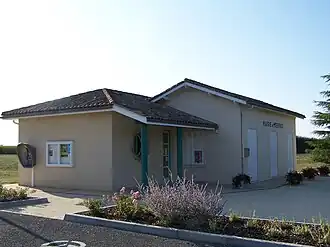 Town hall | |
Location of Berthez | |
 Berthez  Berthez | |
| Coordinates: 44°29′09″N 0°08′03″W / 44.4858°N 0.1342°W | |
| Country | France |
| Region | Nouvelle-Aquitaine |
| Department | Gironde |
| Arrondissement | Langon |
| Canton | Le Réolais et Les Bastides |
| Government | |
| • Mayor (2020–2026) | Guy Dubouilh[1] |
Area 1 | 6.03 km2 (2.33 sq mi) |
| Population (2022)[2] | 292 |
| • Density | 48/km2 (130/sq mi) |
| Time zone | UTC+01:00 (CET) |
| • Summer (DST) | UTC+02:00 (CEST) |
| INSEE/Postal code | 33048 /33124 |
| Elevation | 29–115 m (95–377 ft) (avg. 107 m or 351 ft) |
| 1 French Land Register data, which excludes lakes, ponds, glaciers > 1 km2 (0.386 sq mi or 247 acres) and river estuaries. | |
Berthez is a commune in the Gironde department in Nouvelle-Aquitaine in southwestern France.
Population
| Year | Pop. | ±% |
|---|---|---|
| 1962 | 120 | — |
| 1968 | 152 | +26.7% |
| 1975 | 119 | −21.7% |
| 1982 | 102 | −14.3% |
| 1990 | 142 | +39.2% |
| 1999 | 166 | +16.9% |
| 2008 | 216 | +30.1% |
See also
References
- ^ "Répertoire national des élus: les maires" (in French). data.gouv.fr, Plateforme ouverte des données publiques françaises. 13 September 2022.
- ^ "Populations de référence 2022" (in French). The National Institute of Statistics and Economic Studies. 19 December 2024.
Wikimedia Commons has media related to Berthez.