Chanu
Chanu | |
|---|---|
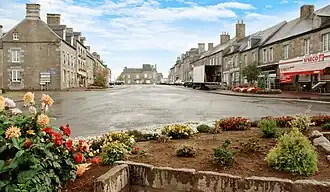 The centre of Chanu | |
Location of Chanu | |
 Chanu  Chanu | |
| Coordinates: 48°43′46″N 0°40′35″W / 48.7294°N 0.6764°W | |
| Country | France |
| Region | Normandy |
| Department | Orne |
| Arrondissement | Argentan |
| Canton | Domfront en Poiraie |
| Intercommunality | Domfront Tinchebray Interco |
| Government | |
| • Mayor (2020–2026) | Michel Legalle[1] |
Area 1 | 15.72 km2 (6.07 sq mi) |
| Population (2022)[2] | 1,248 |
| • Density | 79/km2 (210/sq mi) |
| Demonym | Chanusiens |
| Time zone | UTC+01:00 (CET) |
| • Summer (DST) | UTC+02:00 (CEST) |
| INSEE/Postal code | 61093 /61800 |
| Elevation | 226–321 m (741–1,053 ft) (avg. 299 m or 981 ft) |
| Website | www.chanu.eu |
| 1 French Land Register data, which excludes lakes, ponds, glaciers > 1 km2 (0.386 sq mi or 247 acres) and river estuaries. | |
Chanu (French pronunciation: [ʃany] ⓘ) is a commune in the Orne department in north-western France.
See also
References
- ^ "Répertoire national des élus: les maires". data.gouv.fr, Plateforme ouverte des données publiques françaises (in French). 9 August 2021.
- ^ "Populations de référence 2022" (in French). The National Institute of Statistics and Economic Studies. 19 December 2024.
Wikimedia Commons has media related to Chanu.