Vép
Vép | |
|---|---|
 Flag  Coat of arms | |
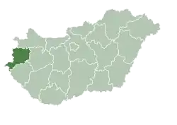
 Location of Vas county in Hungary | |
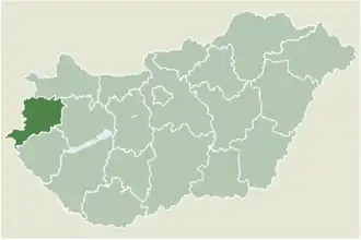
 Vép Location of Vép | |
| Coordinates: 47°13′39″N 16°43′09″E / 47.22749°N 16.71928°E | |
| Country | |
| County | Vas |
| Area | |
• Total | 32.89 km2 (12.70 sq mi) |
| Population (2015)[1] | |
• Total | 3,322 |
| • Density | 100/km2 (260/sq mi) |
| Time zone | UTC+1 (CET) |
| • Summer (DST) | UTC+2 (CEST) |
| Postal code | 9751 |
| Area code | 94 |
| Motorways | M86 |
| Distance from Budapest | 217 km (135 mi) East |
Vép is a town in Vas county, Hungary.

External links
- Street map (in Hungarian)
References
- ^ Gazetteer of Hungary, 1st January 2015. Hungarian Central Statistical Office.