Kám
Kám | |
|---|---|
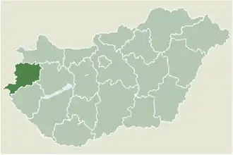 Location of Vas county in Hungary | |
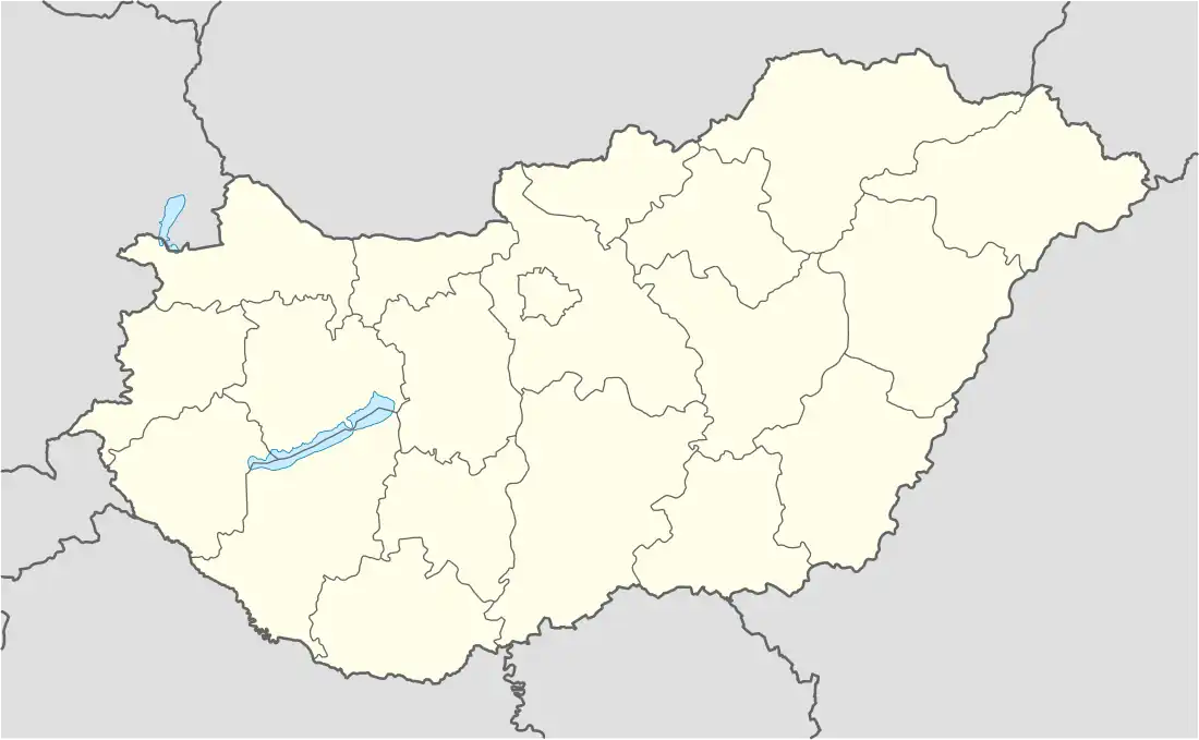 Kám Location of Kám | |
| Coordinates: 47°06′09″N 16°52′32″E / 47.10256°N 16.87559°E | |
| Country | |
| County | Vas |
| Area | |
• Total | 15.3 km2 (5.9 sq mi) |
| Population (2004) | |
• Total | 465 |
| • Density | 30.39/km2 (78.7/sq mi) |
| Time zone | UTC+1 (CET) |
| • Summer (DST) | UTC+2 (CEST) |
| Postal code | 9841 |
| Area code | 94 |
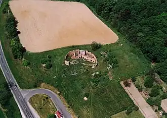
Kám is a defunct village 69 kilometres (43 mi) west of Budapest in Vas county, Hungary. Jeli Arboretum is 3.7 kilometres (2.3 mi) away.[1][2][3]
References
- ^ "Arboretum of Jeli – Fairy garden". Bükfürdő Közhasznú Turisztikai Egyesület. January 11, 2024.
- ^ "Jeli Arboretum". www.termeszetjaro.hu.
- ^ "Detailed Road Map of Kám". www.maphill.com.
External links
- Street map (in Hungarian)