Keléd
Keléd | |
|---|---|
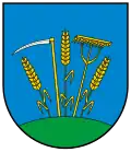 Coat of arms | |
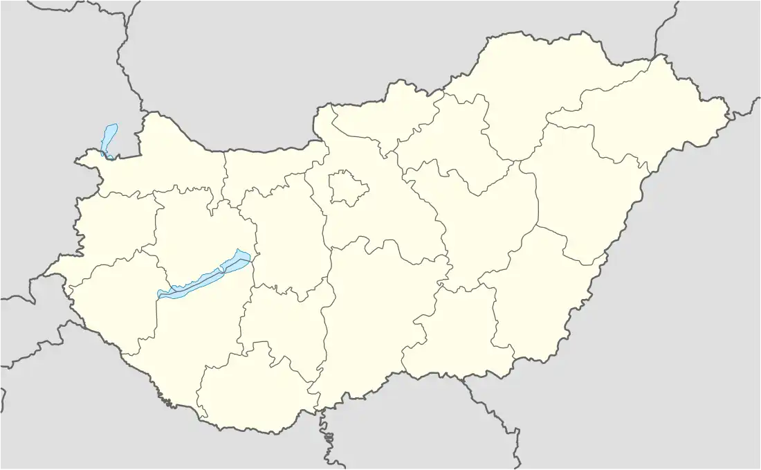 Keléd Location of Keléd in Hungary | |
| Coordinates: 47°04′44″N 17°06′59″E / 47.07881°N 17.11641°E | |
| Country | Hungary |
| Region | Western Transdanubia |
| County | Vas |
| Subregion | Celldömölki |
| Rank | Village |
| Area | |
• Total | 8.72 km2 (3.37 sq mi) |
| Population (1 January 2008)[2] | |
• Total | 76 |
| • Density | 8.7/km2 (23/sq mi) |
| Time zone | UTC+1 (CET) |
| • Summer (DST) | UTC+2 (CEST) |
| Postal code | 9549 |
| Area code | +36 95 |
| KSH code | 32036[1] |
| Website | http://keled.hu/ |
Keléd is a village in Vas county, Hungary.
References
- ^ a b Keléd at the Hungarian Central Statistical Office (Hungarian).
- ^ Keléd at the Hungarian Central Statistical Office (Hungarian). 1 January 2008
47°05′N 17°07′E / 47.083°N 17.117°E