Tellancourt
Tellancourt | |
|---|---|
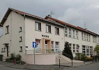 The town hall | |
 Coat of arms | |
Location of Tellancourt | |
 Tellancourt  Tellancourt | |
| Coordinates: 49°30′31″N 5°38′03″E / 49.5086°N 5.6342°E | |
| Country | France |
| Region | Grand Est |
| Department | Meurthe-et-Moselle |
| Arrondissement | Val-de-Briey |
| Canton | Mont-Saint-Martin |
| Intercommunality | CC Terre Lorraine du Longuyonnais |
| Government | |
| • Mayor (2020–2026) | Daniel Roeser[1] |
Area 1 | 3.76 km2 (1.45 sq mi) |
| Population (2022)[2] | 638 |
| • Density | 170/km2 (440/sq mi) |
| Time zone | UTC+01:00 (CET) |
| • Summer (DST) | UTC+02:00 (CEST) |
| INSEE/Postal code | 54514 /54260 |
| Elevation | 335–403 m (1,099–1,322 ft) (avg. 392 m or 1,286 ft) |
| 1 French Land Register data, which excludes lakes, ponds, glaciers > 1 km2 (0.386 sq mi or 247 acres) and river estuaries. | |
Tellancourt (French pronunciation: [tɛlɑ̃kuʁ]) is a commune in the Meurthe-et-Moselle department in Grand Est in north-eastern France.
See also
References
- ^ "Répertoire national des élus: les maires". data.gouv.fr, Plateforme ouverte des données publiques françaises (in French). 2 December 2020.
- ^ "Populations de référence 2022" (in French). The National Institute of Statistics and Economic Studies. 19 December 2024.
Wikimedia Commons has media related to Tellancourt.