Serville
Serville | |
|---|---|
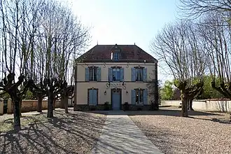 The town hall in Serville | |
Location of Serville | |
 Serville 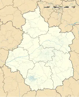 Serville | |
| Coordinates: 48°46′11″N 1°29′10″E / 48.7697°N 1.4861°E | |
| Country | France |
| Region | Centre-Val de Loire |
| Department | Eure-et-Loir |
| Arrondissement | Dreux |
| Canton | Anet |
| Intercommunality | CA Pays de Dreux |
| Government | |
| • Mayor (2020–2026) | Thomas Baubion[1] |
Area 1 | 5.62 km2 (2.17 sq mi) |
| Population (2022)[2] | 362 |
| • Density | 64/km2 (170/sq mi) |
| Time zone | UTC+01:00 (CET) |
| • Summer (DST) | UTC+02:00 (CEST) |
| INSEE/Postal code | 28375 /28410 |
| Elevation | 134–141 m (440–463 ft) (avg. 137 m or 449 ft) |
| 1 French Land Register data, which excludes lakes, ponds, glaciers > 1 km2 (0.386 sq mi or 247 acres) and river estuaries. | |
Serville (French pronunciation: [sɛʁvil]) is a commune in the Eure-et-Loir department in northern France.
Population
| Year | Pop. | ±% |
|---|---|---|
| 1962 | 190 | — |
| 1968 | 267 | +40.5% |
| 1975 | 244 | −8.6% |
| 1982 | 204 | −16.4% |
| 1990 | 289 | +41.7% |
| 1999 | 294 | +1.7% |
| 2008 | 365 | +24.1% |
See also
References
- ^ "Répertoire national des élus: les maires" (in French). data.gouv.fr, Plateforme ouverte des données publiques françaises. 4 May 2022.
- ^ "Populations de référence 2022" (in French). The National Institute of Statistics and Economic Studies. 19 December 2024.
External links
 Media related to Serville at Wikimedia Commons