Rozet-Saint-Albin
Rozet-Saint-Albin | |
|---|---|
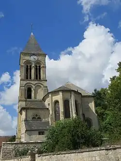 The church of Rozet-Saint-Albin | |
Location of Rozet-Saint-Albin | |
 Rozet-Saint-Albin  Rozet-Saint-Albin | |
| Coordinates: 49°11′41″N 3°17′56″E / 49.1947°N 3.2989°E | |
| Country | France |
| Region | Hauts-de-France |
| Department | Aisne |
| Arrondissement | Château-Thierry |
| Canton | Villers-Cotterêts |
| Intercommunality | CA Région de Château-Thierry |
| Government | |
| • Mayor (2020–2026) | Antoine Viet[1] |
Area 1 | 7.95 km2 (3.07 sq mi) |
| Population (2022)[2] | 333 |
| • Density | 42/km2 (110/sq mi) |
| Time zone | UTC+01:00 (CET) |
| • Summer (DST) | UTC+02:00 (CEST) |
| INSEE/Postal code | 02662 /02210 |
| Elevation | 75–184 m (246–604 ft) (avg. 83 m or 272 ft) |
| 1 French Land Register data, which excludes lakes, ponds, glaciers > 1 km2 (0.386 sq mi or 247 acres) and river estuaries. | |
Rozet-Saint-Albin is a commune in the Aisne department in Hauts-de-France in northern France.
Population
| Year | Pop. | ±% |
|---|---|---|
| 1962 | 307 | — |
| 1968 | 273 | −11.1% |
| 1975 | 272 | −0.4% |
| 1982 | 240 | −11.8% |
| 1990 | 276 | +15.0% |
| 1999 | 292 | +5.8% |
| 2008 | 300 | +2.7% |
See also
References
- ^ "Répertoire national des élus: les maires". data.gouv.fr, Plateforme ouverte des données publiques françaises (in French). 2 December 2020.
- ^ "Populations de référence 2022" (in French). The National Institute of Statistics and Economic Studies. 19 December 2024.
Wikimedia Commons has media related to Rozet-Saint-Albin.