Rancennes
Rancennes | |
|---|---|
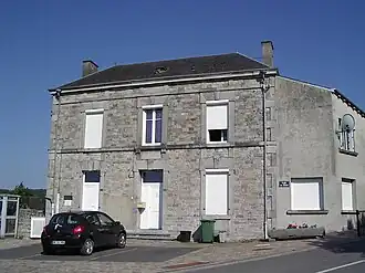 The town hall in Rancennes | |
 Coat of arms | |
Location of Rancennes | |
 Rancennes  Rancennes | |
| Coordinates: 50°07′03″N 4°49′06″E / 50.1175°N 4.8183°E | |
| Country | France |
| Region | Grand Est |
| Department | Ardennes |
| Arrondissement | Charleville-Mézières |
| Canton | Givet |
| Intercommunality | Ardenne Rives de Meuse |
| Government | |
| • Mayor (2020–2026) | Joël Boucher[1] |
Area 1 | 6.5 km2 (2.5 sq mi) |
| Population (2022)[2] | 707 |
| • Density | 110/km2 (280/sq mi) |
| Time zone | UTC+01:00 (CET) |
| • Summer (DST) | UTC+02:00 (CEST) |
| INSEE/Postal code | 08353 /08600 |
| Elevation | 156 m (512 ft) |
| 1 French Land Register data, which excludes lakes, ponds, glaciers > 1 km2 (0.386 sq mi or 247 acres) and river estuaries. | |
Rancennes (French pronunciation: [ʁɑ̃sɛn]) is a commune in the Ardennes department in northern France.
The Pointe de Givet National Nature Reserve is partly located on the commune.
Population
| Year | Pop. | ±% |
|---|---|---|
| 1962 | 256 | — |
| 1968 | 437 | +70.7% |
| 1975 | 445 | +1.8% |
| 1982 | 609 | +36.9% |
| 1990 | 1,001 | +64.4% |
| 1999 | 828 | −17.3% |
| 2008 | 710 | −14.3% |
See also
References
- ^ "Répertoire national des élus: les maires". data.gouv.fr, Plateforme ouverte des données publiques françaises (in French). 9 August 2021.
- ^ "Populations de référence 2022" (in French). The National Institute of Statistics and Economic Studies. 19 December 2024.
Wikimedia Commons has media related to Rancennes.