Peyrelevade
Peyrelevade | |
|---|---|
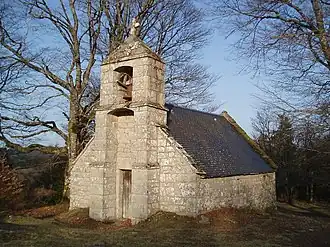 The Chapel of Le Rat | |
Location of Peyrelevade | |
 Peyrelevade  Peyrelevade | |
| Coordinates: 45°42′18″N 2°03′18″E / 45.705°N 2.055°E | |
| Country | France |
| Region | Nouvelle-Aquitaine |
| Department | Corrèze |
| Arrondissement | Ussel |
| Canton | Plateau de Millevaches |
| Intercommunality | Haute-Corrèze Communauté |
| Government | |
| • Mayor (2020–2026) | Pierre Coutaud[1] |
Area 1 | 66.43 km2 (25.65 sq mi) |
| Population (2022)[2] | 831 |
| • Density | 13/km2 (32/sq mi) |
| Time zone | UTC+01:00 (CET) |
| • Summer (DST) | UTC+02:00 (CEST) |
| INSEE/Postal code | 19164 /19290 |
| Elevation | 674–951 m (2,211–3,120 ft) (avg. 804 m or 2,638 ft) |
| 1 French Land Register data, which excludes lakes, ponds, glaciers > 1 km2 (0.386 sq mi or 247 acres) and river estuaries. | |
Peyrelevade (French pronunciation: [pɛʁləvad]; Occitan: Peiralevada) is a commune in the Corrèze department in central France.
Demographics
| Year | Pop. | ±% |
|---|---|---|
| 1962 | 1,040 | — |
| 1968 | 1,181 | +13.6% |
| 1975 | 1,418 | +20.1% |
| 1982 | 1,119 | −21.1% |
| 1990 | 1,012 | −9.6% |
| 1999 | 829 | −18.1% |
| 2008 | 825 | −0.5% |
| 2014 | 797 | −3.4% |
| 2020 | 830 | +4.1% |
See also
References
- ^ "Répertoire national des élus: les maires" (in French). data.gouv.fr, Plateforme ouverte des données publiques françaises. 13 September 2022.
- ^ "Populations de référence 2022" (in French). The National Institute of Statistics and Economic Studies. 19 December 2024.
Wikimedia Commons has media related to Peyrelevade (Corrèze).