Péret
Péret | |
|---|---|
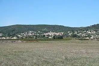 A general view of Péret | |
.svg.png) Coat of arms | |
Location of Péret | |
 Péret  Péret | |
| Coordinates: 43°34′34″N 3°23′53″E / 43.5761°N 3.3981°E | |
| Country | France |
| Region | Occitania |
| Department | Hérault |
| Arrondissement | Lodève |
| Canton | Mèze |
| Intercommunality | Clermontais |
| Government | |
| • Mayor (2020–2026) | Isabelle Silhol[1] |
Area 1 | 10.97 km2 (4.24 sq mi) |
| Population (2022)[2] | 1,131 |
| • Density | 100/km2 (270/sq mi) |
| Time zone | UTC+01:00 (CET) |
| • Summer (DST) | UTC+02:00 (CEST) |
| INSEE/Postal code | 34197 /34800 |
| Elevation | 74–334 m (243–1,096 ft) (avg. 125 m or 410 ft) |
| 1 French Land Register data, which excludes lakes, ponds, glaciers > 1 km2 (0.386 sq mi or 247 acres) and river estuaries. | |
Péret (French pronunciation: [peʁɛ]; Occitan: Peret) is a commune in the Hérault department in the Occitanie region in southern France.
Population
| Year | Pop. | ±% |
|---|---|---|
| 1962 | 544 | — |
| 1968 | 571 | +5.0% |
| 1975 | 520 | −8.9% |
| 1982 | 524 | +0.8% |
| 1990 | 521 | −0.6% |
| 1999 | 560 | +7.5% |
| 2008 | 779 | +39.1% |
See also
References
- ^ "Répertoire national des élus: les maires". data.gouv.fr, Plateforme ouverte des données publiques françaises (in French). 9 August 2021.
- ^ "Populations de référence 2022" (in French). The National Institute of Statistics and Economic Studies. 19 December 2024.
Wikimedia Commons has media related to Péret.