Morand, Indre-et-Loire
Morand | |
|---|---|
.svg.png) Coat of arms | |
Location of Morand | |
 Morand 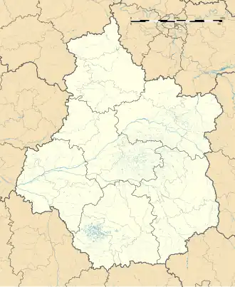 Morand | |
| Coordinates: 47°33′48″N 1°00′38″E / 47.5633°N 1.0106°E | |
| Country | France |
| Region | Centre-Val de Loire |
| Department | Indre-et-Loire |
| Arrondissement | Loches |
| Canton | Château-Renault |
| Government | |
| • Mayor (2020–2026) | Joël Deniau[1] |
Area 1 | 14.62 km2 (5.64 sq mi) |
| Population (2022)[2] | 348 |
| • Density | 24/km2 (62/sq mi) |
| Time zone | UTC+01:00 (CET) |
| • Summer (DST) | UTC+02:00 (CEST) |
| INSEE/Postal code | 37160 /37110 |
| Elevation | 104–147 m (341–482 ft) |
| 1 French Land Register data, which excludes lakes, ponds, glaciers > 1 km2 (0.386 sq mi or 247 acres) and river estuaries. | |
Morand (French pronunciation: [mɔʁɑ̃]) is a commune in the Indre-et-Loire department in central France.
Population
| Year | Pop. | ±% p.a. |
|---|---|---|
| 1968 | 237 | — |
| 1975 | 217 | −1.25% |
| 1982 | 218 | +0.07% |
| 1990 | 242 | +1.31% |
| 1999 | 235 | −0.33% |
| 2007 | 287 | +2.53% |
| 2012 | 345 | +3.75% |
| 2017 | 347 | +0.12% |
| Source: INSEE[3] | ||
See also
References
- ^ "Répertoire national des élus: les maires". data.gouv.fr, Plateforme ouverte des données publiques françaises (in French). 2 December 2020.
- ^ "Populations de référence 2022" (in French). The National Institute of Statistics and Economic Studies. 19 December 2024.
- ^ Population en historique depuis 1968, INSEE
Wikimedia Commons has media related to Morand.