Lchavan
40°09′07″N 45°36′52″E / 40.15194°N 45.61444°E
Lchavan
Լճավան | |
|---|---|
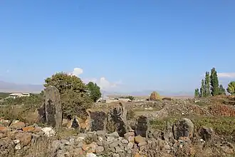 Khachkars on the side of the Tsovak-Lchavan road | |
 Lchavan 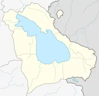 Lchavan | |
| Coordinates: 40°09′07″N 45°36′52″E / 40.15194°N 45.61444°E | |
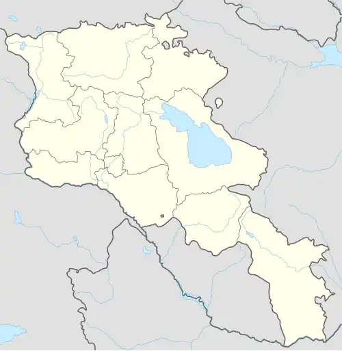
| Country | Armenia |
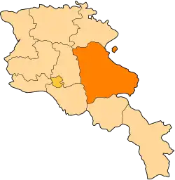
| Province | Gegharkunik |
| Municipality | Vardenis |
| Population | |
• Total | 548 |
| Time zone | UTC+4 (AMT) |
| Lchavan at GEOnet Names Server | |
Lchavan (Armenian: Լճավան) is a village in the Vardenis Municipality of the Gegharkunik Province of Armenia, located to the southeast of Lake Sevan.
History
The village has Bronze Age tombs and a church dating to the 13th-14th century with khachkars.[2]
References
- ^ Statistical Committee of Armenia. "The results of the 2011 Population Census of Armenia" (PDF).
- ^ Kiesling, Brady; Kojian, Raffi (2005). Rediscovering Armenia: Guide (2nd ed.). Yerevan: Matit Graphic Design Studio. p. 81. ISBN 99941-0-121-8.
External links
- Report of the results of the 2001 Armenian Census, Statistical Committee of Armenia
- Kiesling, Brady (June 2000). Rediscovering Armenia: An Archaeological/Touristic Gazetteer and Map Set for the Historical Monuments of Armenia (PDF). Archived (PDF) from the original on 6 November 2021.