Lanjaghbyur
40°16′23″N 45°08′40″E / 40.27306°N 45.14444°E
Lanjaghbyur
Լանջաղբյուր | |
|---|---|
.jpg) A view of Lanjaghbyur and Ilikavank Monastery | |
 Lanjaghbyur 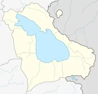 Lanjaghbyur | |
| Coordinates: 40°16′23″N 45°08′40″E / 40.27306°N 45.14444°E | |
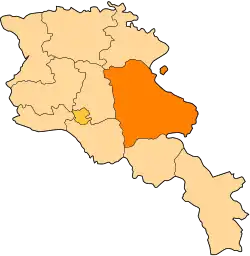
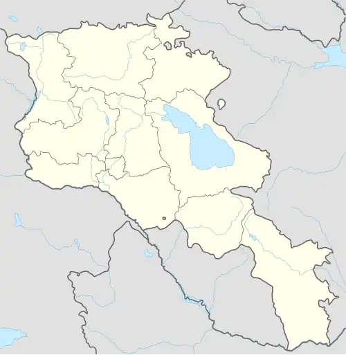
| Country | Armenia |
| Province | Gegharkunik |
| Municipality | Gavar |
| Founded | 1828 |
| Population | |
• Total | 2,115 |
| Time zone | UTC+4 (AMT) |
| Lanjaghbyur at GEOnet Names Server | |
Lanjaghbyur (Armenian: Լանջաղբյուր) is a village in the Gavar Municipality of the Gegharkunik Province of Armenia.
History
The village was founded in 1828.
Gallery
-
.jpg) A view of Lanjaghbyur from Surb Khach Church
A view of Lanjaghbyur from Surb Khach Church -
.jpg) Surb Khach Church
Surb Khach Church -
.jpg) Surb Khach Church
Surb Khach Church -
.jpg) Ilikavank Monastery
Ilikavank Monastery -
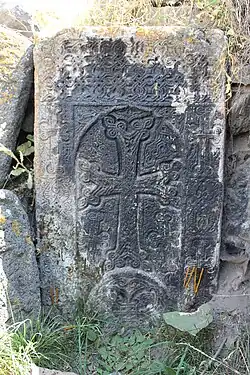 Khachkar near St. Hakob Church
References
External links
Wikimedia Commons has media related to Cultural heritage monuments in Lanjaghbyur, Gegharkunik.
- Report of the results of the 2001 Armenian Census, Statistical Committee of Armenia
- Kiesling, Brady (2005), Rediscovering Armenia: Guide, Yerevan, Armenia: Matit Graphic Design Studio
- Kiesling, Brady (June 2000). Rediscovering Armenia: An Archaeological/Touristic Gazetteer and Map Set for the Historical Monuments of Armenia (PDF). Archived (PDF) from the original on 6 November 2021.