Artanish
Artanish
Արտանիշ | |
|---|---|
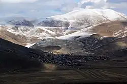 A view of Artanish | |
 Artanish 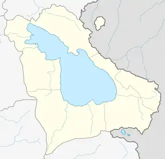 Artanish | |
| Coordinates: 40°29′50″N 45°21′52″E / 40.49722°N 45.36444°E | |
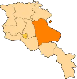
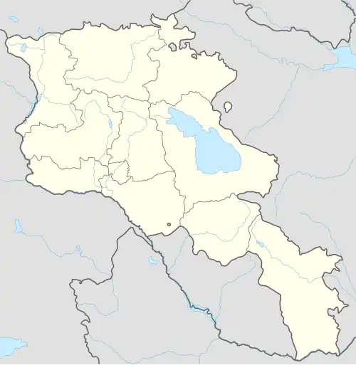
| Country | Armenia |
| Province | Gegharkunik |
| Municipality | Shoghakat |
| Elevation | 1,924 m (6,312 ft) |
| Population | |
• Total | 756 |
| Time zone | UTC+4 (AMT) |
| Postal code | 1308 |
| Artanish at GEOnet Names Server | |
Artanish (Armenian: Արտանիշ) is a village in the Shoghakat Municipality of the Gegharkunik Province of Armenia. On a hill just to the west are the ruins of cyclopean fortresses, and nearby is a church and a cemetery.[2]
Nature
The vicinity of the village hosts 111 species of butterflies and is recognized as the Prime Butterfly Area "Artanish-Shorzha".[3] The area is also known as one of the key birdwatching sites of Armenia.[4]
Gallery
-
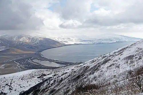
.jpg) Lake Sevan from Mount Artanish
Lake Sevan from Mount Artanish -
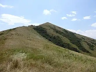 Scenery around Mount Artanish
 -
.jpg) Scenery around Mount Artanish
Scenery around Mount Artanish -
 Scenery around Mount Artanish
References
- ^ Statistical Committee of Armenia. "The results of the 2011 Population Census of Armenia" (PDF).
- ^ Kiesling, Brady; Kojian, Raffi (2005). Rediscovering Armenia: Guide (2nd ed.). Yerevan: Matit Graphic Design Studio. p. 84. ISBN 99941-0-121-8.
- ^ Prime Butterfly Area "Artanish-Shorzha". Butterfly Conservation Armenia, 2016. http://www.butterfly-conservation-armenia.org/artanish-shorzha.html
- ^ Birdwatching. Armenian Bird Census Council. 2016. http://www.abcc-am.org/birdwatching.html Archived 2016-12-26 at the Wayback Machine
External links
Wikimedia Commons has media related to Artanish.
- Report of the results of the 2001 Armenian Census, Statistical Committee of Armenia
- Kiesling, Brady (June 2000). Rediscovering Armenia: An Archaeological/Touristic Gazetteer and Map Set for the Historical Monuments of Armenia (PDF). Archived (PDF) from the original on 6 November 2021.