La Bâtie-Neuve
La Bâtie-Neuve | |
|---|---|
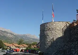 The tower, the only remains of the ancient castle of La Bâtie-Neuve | |
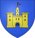 Coat of arms | |
Location of La Bâtie-Neuve | |
 La Bâtie-Neuve 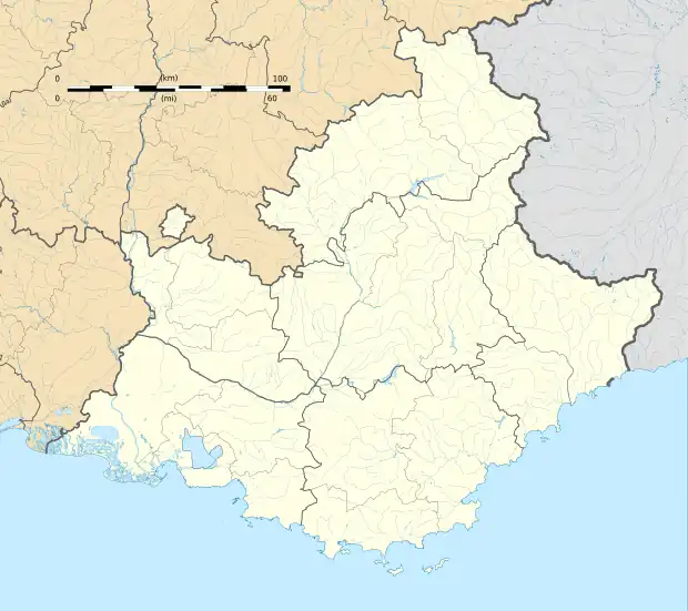 La Bâtie-Neuve | |
| Coordinates: 44°34′03″N 6°11′47″E / 44.5675°N 6.1964°E | |
| Country | France |
| Region | Provence-Alpes-Côte d'Azur |
| Department | Hautes-Alpes |
| Arrondissement | Gap |
| Canton | Chorges |
| Government | |
| • Mayor (2020–2026) | Joël Bonnafoux[1] |
Area 1 | 27.99 km2 (10.81 sq mi) |
| Population (2022)[2] | 2,611 |
| • Density | 93/km2 (240/sq mi) |
| Time zone | UTC+01:00 (CET) |
| • Summer (DST) | UTC+02:00 (CEST) |
| INSEE/Postal code | 05017 /05230 |
| Elevation | 824–2,420 m (2,703–7,940 ft) (avg. 855 m or 2,805 ft) |
| 1 French Land Register data, which excludes lakes, ponds, glaciers > 1 km2 (0.386 sq mi or 247 acres) and river estuaries. | |
La Bâtie-Neuve (French pronunciation: [la bati nœv]; Occitan: La Bastia Nòva) is a commune in the Hautes-Alpes department in southeastern France.
Location
The village is 5 km (3.1 mi) away from La Bâtie-Vieille. It is close to Gap.
Population
|
| ||||||||||||||||||||||||||||||||||||||||||||||||||||||||||||||||||||||||||||||||||||||||||||||||||||||||||||||||||
| Source: EHESS[3] and INSEE (1968-2017)[4] | |||||||||||||||||||||||||||||||||||||||||||||||||||||||||||||||||||||||||||||||||||||||||||||||||||||||||||||||||||
See also
References
- ^ "Répertoire national des élus: les maires". data.gouv.fr, Plateforme ouverte des données publiques françaises (in French). 2 December 2020.
- ^ "Populations de référence 2022" (in French). The National Institute of Statistics and Economic Studies. 19 December 2024.
- ^ Des villages de Cassini aux communes d'aujourd'hui: Commune data sheet La Bâtie-Neuve, EHESS (in French).
- ^ Population en historique depuis 1968, INSEE
Wikimedia Commons has media related to La Bâtie-Neuve.