Crots
Crots | |
|---|---|
 The bell tower of the church in Crots | |
 Coat of arms | |
Location of Crots | |
 Crots 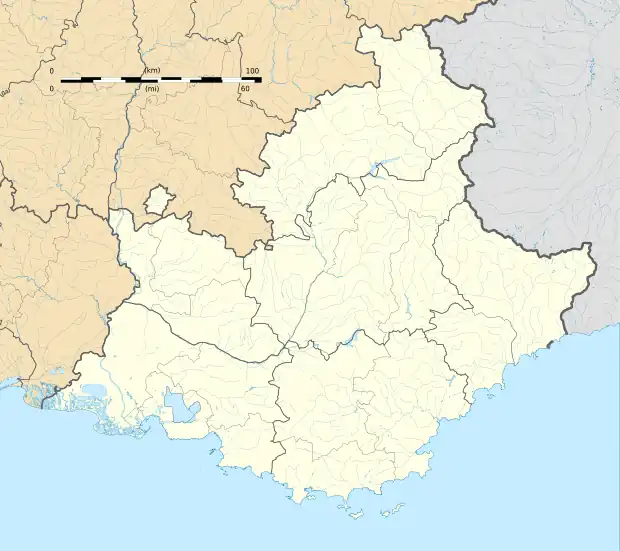 Crots | |
| Coordinates: 44°32′04″N 6°28′19″E / 44.5344°N 6.4719°E | |
| Country | France |
| Region | Provence-Alpes-Côte d'Azur |
| Department | Hautes-Alpes |
| Arrondissement | Gap |
| Canton | Embrun |
| Government | |
| • Mayor (2023–2026) | Jean-Pierre Gandois[1] |
Area 1 | 53.84 km2 (20.79 sq mi) |
| Population (2022)[2] | 1,161 |
| • Density | 22/km2 (56/sq mi) |
| Time zone | UTC+01:00 (CET) |
| • Summer (DST) | UTC+02:00 (CEST) |
| INSEE/Postal code | 05045 /05200 |
| Elevation | 778–2,896 m (2,552–9,501 ft) (avg. 790 m or 2,590 ft) |
| 1 French Land Register data, which excludes lakes, ponds, glaciers > 1 km2 (0.386 sq mi or 247 acres) and river estuaries. | |
Crots (French pronunciation: [kʁo]; Occitan: Las Cròtas) is a commune in the Hautes-Alpes department in southeastern France. The territory of the commune belongs to the Écrins National Park.
Population
| Year | Pop. | ±% p.a. |
|---|---|---|
| 1968 | 463 | — |
| 1975 | 469 | +0.18% |
| 1982 | 563 | +2.64% |
| 1990 | 670 | +2.20% |
| 1999 | 744 | +1.17% |
| 2009 | 932 | +2.28% |
| 2014 | 1,011 | +1.64% |
| 2020 | 1,125 | +1.80% |
| Source: INSEE[3] | ||
See also
References
- ^ "Répertoire national des élus: les maires" (in French). data.gouv.fr, Plateforme ouverte des données publiques françaises. 12 March 2025.
- ^ "Populations de référence 2022" (in French). The National Institute of Statistics and Economic Studies. 19 December 2024.
- ^ Population en historique depuis 1968, INSEE
Wikimedia Commons has media related to Crots.