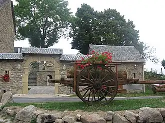
Golinhac
Golinhac | |
|---|---|
 Via Podiensis | |
.svg.png) Coat of arms | |
Location of Golinhac | |
 Golinhac  Golinhac | |
| Coordinates: 44°36′19″N 2°35′03″E / 44.6053°N 2.5842°E | |
| Country | France |
| Region | Occitania |
| Department | Aveyron |
| Arrondissement | Rodez |
| Canton | Lot et Truyère |
| Government | |
| • Mayor (2020–2026) | Alexandre Benezet[1] |
Area 1 | 32.41 km2 (12.51 sq mi) |
| Population (2022)[2] | 370 |
| • Density | 11/km2 (30/sq mi) |
| Time zone | UTC+01:00 (CET) |
| • Summer (DST) | UTC+02:00 (CEST) |
| INSEE/Postal code | 12110 /12140 |
| Elevation | 229–694 m (751–2,277 ft) (avg. 650 m or 2,130 ft) |
| 1 French Land Register data, which excludes lakes, ponds, glaciers > 1 km2 (0.386 sq mi or 247 acres) and river estuaries. | |
Golinhac is a commune in the Aveyron department in southern France.
Population
| Year | Pop. | ±% |
|---|---|---|
| 1962 | 523 | — |
| 1968 | 532 | +1.7% |
| 1975 | 475 | −10.7% |
| 1982 | 472 | −0.6% |
| 1990 | 458 | −3.0% |
| 1999 | 392 | −14.4% |
| 2008 | 441 | +12.5% |
See also
References
- ^ "Répertoire national des élus: les maires". data.gouv.fr, Plateforme ouverte des données publiques françaises (in French). 9 August 2021.
- ^ "Populations de référence 2022" (in French). The National Institute of Statistics and Economic Studies. 19 December 2024.
Wikimedia Commons has media related to Golinhac.