Gandrange
Gandrange | |
|---|---|
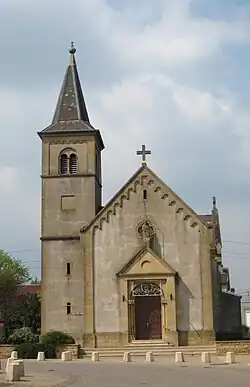 New church Saint-Pierre of Boussange. | |
.svg.png) Coat of arms | |
Location of Gandrange | |
 Gandrange  Gandrange | |
| Coordinates: 49°16′20″N 6°07′33″E / 49.2722°N 6.1258°E | |
| Country | France |
| Region | Grand Est |
| Department | Moselle |
| Arrondissement | Thionville |
| Canton | Hayange |
| Intercommunality | CC Rives de Moselle |
| Government | |
| • Mayor (2020–2026) | Henri Octave[1] |
Area 1 | 4.08 km2 (1.58 sq mi) |
| Population (2022)[2] | 3,006 |
| • Density | 740/km2 (1,900/sq mi) |
| Time zone | UTC+01:00 (CET) |
| • Summer (DST) | UTC+02:00 (CEST) |
| INSEE/Postal code | 57242 /57175 |
| Elevation | 154–224 m (505–735 ft) (avg. 180 m or 590 ft) |
| 1 French Land Register data, which excludes lakes, ponds, glaciers > 1 km2 (0.386 sq mi or 247 acres) and river estuaries. | |
Gandrange (French pronunciation: [ɡɑ̃dʁɑ̃ʒ]; German: Gandringen) is a commune in the Moselle department in Grand Est in north-eastern France.
Population
| Year | Pop. | ±% p.a. |
|---|---|---|
| 1968 | 2,706 | — |
| 1975 | 2,579 | −0.68% |
| 1982 | 2,296 | −1.65% |
| 1990 | 2,370 | +0.40% |
| 1999 | 2,542 | +0.78% |
| 2007 | 2,634 | +0.45% |
| 2012 | 2,886 | +1.84% |
| 2017 | 2,907 | +0.15% |
| Source: INSEE[3] | ||
See also
References
- ^ "Répertoire national des élus: les maires". data.gouv.fr, Plateforme ouverte des données publiques françaises (in French). 2 December 2020.
- ^ "Populations de référence 2022" (in French). The National Institute of Statistics and Economic Studies. 19 December 2024.
- ^ Population en historique depuis 1968, INSEE
External links
 Media related to Gandrange at Wikimedia Commons