Dompierre-sous-Sanvignes
Dompierre-sous-Sanvignes | |
|---|---|
 The town hall in Dompierre-sous-Sanvignes | |
Location of Dompierre-sous-Sanvignes | |
 Dompierre-sous-Sanvignes 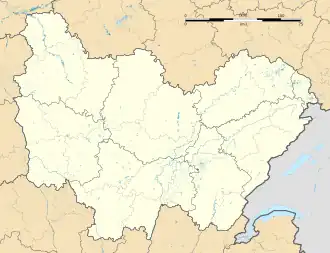 Dompierre-sous-Sanvignes | |
| Coordinates: 46°39′10″N 4°13′34″E / 46.6528°N 4.2261°E | |
| Country | France |
| Region | Bourgogne-Franche-Comté |
| Department | Saône-et-Loire |
| Arrondissement | Charolles |
| Canton | Gueugnon |
Area 1 | 13.58 km2 (5.24 sq mi) |
| Population (2022)[1] | 77 |
| • Density | 5.7/km2 (15/sq mi) |
| Time zone | UTC+01:00 (CET) |
| • Summer (DST) | UTC+02:00 (CEST) |
| INSEE/Postal code | 71179 /71420 |
| Elevation | 275–344 m (902–1,129 ft) (avg. 303 m or 994 ft) |
| 1 French Land Register data, which excludes lakes, ponds, glaciers > 1 km2 (0.386 sq mi or 247 acres) and river estuaries. | |
Dompierre-sous-Sanvignes (French pronunciation: [dɔ̃pjɛʁ su sɑ̃viɲ], literally Dompierre under Sanvignes) is a commune in the Saône-et-Loire department in the region of Bourgogne-Franche-Comté in eastern France.
It is located close to Perrecy-les-Forges.
See also
References
- ^ "Populations de référence 2022" (in French). The National Institute of Statistics and Economic Studies. 19 December 2024.
Wikimedia Commons has media related to Dompierre-sous-Sanvignes.