Chenay-le-Châtel
Chenay-le-Châtel | |
|---|---|
.JPG) The church and surroundings in Chenay-le-Châtel | |
 Coat of arms | |
Location of Chenay-le-Châtel | |
 Chenay-le-Châtel 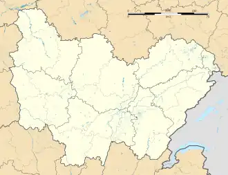 Chenay-le-Châtel | |
| Coordinates: 46°13′42″N 3°56′24″E / 46.2283°N 3.94°E | |
| Country | France |
| Region | Bourgogne-Franche-Comté |
| Department | Saône-et-Loire |
| Arrondissement | Charolles |
| Canton | Paray-le-Monial |
| Government | |
| • Mayor (2023–2026) | Philippe Duplatre[1] |
Area 1 | 32.14 km2 (12.41 sq mi) |
| Population (2022)[2] | 373 |
| • Density | 12/km2 (30/sq mi) |
| Time zone | UTC+01:00 (CET) |
| • Summer (DST) | UTC+02:00 (CEST) |
| INSEE/Postal code | 71123 /71340 |
| Elevation | 267–344 m (876–1,129 ft) (avg. 310 m or 1,020 ft) |
| 1 French Land Register data, which excludes lakes, ponds, glaciers > 1 km2 (0.386 sq mi or 247 acres) and river estuaries. | |
Chenay-le-Châtel (French pronunciation: [ʃənɛ lə ʃatɛl]) is a commune in the Saône-et-Loire department in the region of Bourgogne-Franche-Comté in eastern France.
See also
References
- ^ "Répertoire national des élus: les maires" (in French). data.gouv.fr, Plateforme ouverte des données publiques françaises. 30 November 2023.
- ^ "Populations de référence 2022" (in French). The National Institute of Statistics and Economic Studies. 19 December 2024.
Wikimedia Commons has media related to Chenay-le-Châtel.