Woodlands, Mitchells Plain
Woodlands | |
|---|---|
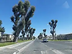 A view down Mitchell Avenue in Woodlands. | |
 Woodlands 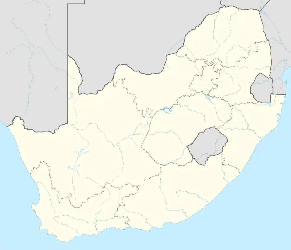 Woodlands | |
| Coordinates: 34°02′10″S 18°35′53″E / 34.036°S 18.598°E | |
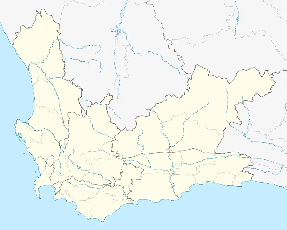
| Country | South Africa |
| Province | Western Cape |
| Municipality | City of Cape Town |
| Main Place | Mitchells Plain, Cape Town |
| Area | |
• Total | 2.4 km2 (0.9 sq mi) |
| Population (2011)[1] | |
• Total | 23,213 |
| • Density | 9,700/km2 (25,000/sq mi) |
| Racial makeup (2011) | |
| • Black African | 6.06% |
| • Coloured | 92.25% |
| • Indian/Asian | 0.44% |
| • White | 0.16% |
| • Other | 1.09% |
| First languages (2011) | |
| • Afrikaans | 45.81% |
| • English | 51.45% |
| • Sign language | 0.41% |
| Time zone | UTC+2 (SAST) |
Woodlands is a neighborhood in the central western part of the Mitchells Plain urban area of the City of Cape Town in the Western Cape province of South Africa.
References
- ^ a b c d "Sub Place Woodlands". Census 2011.