Vallet
Vallet
Gwaled (Breton) | |
|---|---|
.JPG) The church of Our Lady, in Vallet | |
.svg.png) Coat of arms | |
Location of Vallet | |
 Vallet 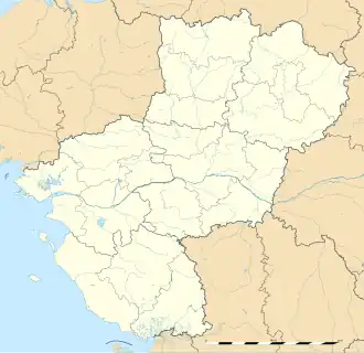 Vallet | |
| Coordinates: 47°09′44″N 1°15′56″W / 47.1622°N 1.2656°W | |
| Country | France |
| Region | Pays de la Loire |
| Department | Loire-Atlantique |
| Arrondissement | Nantes |
| Canton | Vallet |
| Intercommunality | Sèvre et Loire |
| Government | |
| • Mayor (2020–2026) | Jérôme Marchais[1] |
Area 1 | 58.96 km2 (22.76 sq mi) |
| Population (2022)[2] | 9,524 |
| • Density | 160/km2 (420/sq mi) |
| Demonym(s) | Valletaise, Valletais |
| Time zone | UTC+01:00 (CET) |
| • Summer (DST) | UTC+02:00 (CEST) |
| INSEE/Postal code | 44212 /44330 |
| Elevation | 6–98 m (20–322 ft) |
| Website | www |
| 1 French Land Register data, which excludes lakes, ponds, glaciers > 1 km2 (0.386 sq mi or 247 acres) and river estuaries. | |
Vallet (French pronunciation: [valɛt];[3][4] Breton: Gwaled) is a commune in the Loire-Atlantique department in western France. The town is located in the Muscadet region.
Vallet is twinned with Alcester, Warwickshire, United Kingdom.
Population
| Year | Pop. | ±% p.a. |
|---|---|---|
| 1968 | 4,603 | — |
| 1975 | 4,984 | +1.14% |
| 1982 | 5,717 | +1.98% |
| 1990 | 6,116 | +0.85% |
| 1999 | 6,807 | +1.20% |
| 2007 | 8,057 | +2.13% |
| 2012 | 8,579 | +1.26% |
| 2017 | 9,015 | +1.00% |
| Source: INSEE[5] | ||
See also
References
- ^ "Répertoire national des élus: les maires". data.gouv.fr, Plateforme ouverte des données publiques françaises (in French). 2 December 2020.
- ^ "Populations de référence 2022" (in French). The National Institute of Statistics and Economic Studies. 19 December 2024.
- ^ Oh L-A Vallet, archived from the original on 15 December 2021, retrieved 18 July 2021
- ^ Boulangerie de la Tresse doree à Vallet, archived from the original on 15 December 2021, retrieved 18 July 2021
- ^ Population en historique depuis 1968, INSEE
Wikimedia Commons has media related to Vallet (Loire-Atlantique).