Trochères
Trochères | |
|---|---|
.svg.png) Coat of arms | |
Location of Trochères | |
 Trochères 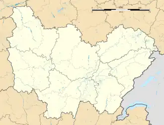 Trochères | |
| Coordinates: 47°20′43″N 5°18′23″E / 47.3453°N 5.3064°E | |
| Country | France |
| Region | Bourgogne-Franche-Comté |
| Department | Côte-d'Or |
| Arrondissement | Dijon |
| Canton | Saint-Apollinaire |
| Government | |
| • Mayor (2020–2026) | Nathalie Gavoille[1] |
Area 1 | 5.1 km2 (2.0 sq mi) |
| Population (2022)[2] | 167 |
| • Density | 33/km2 (85/sq mi) |
| Time zone | UTC+01:00 (CET) |
| • Summer (DST) | UTC+02:00 (CEST) |
| INSEE/Postal code | 21644 /21310 |
| Elevation | 188–206 m (617–676 ft) (avg. 195 m or 640 ft) |
| 1 French Land Register data, which excludes lakes, ponds, glaciers > 1 km2 (0.386 sq mi or 247 acres) and river estuaries. | |
Trochères (French pronunciation: [tʁɔʃɛʁ]) is a commune in the Côte-d'Or department in eastern France.
Population
| Year | Pop. | ±% p.a. |
|---|---|---|
| 1968 | 101 | — |
| 1975 | 83 | −2.77% |
| 1982 | 129 | +6.50% |
| 1990 | 118 | −1.11% |
| 1999 | 136 | +1.59% |
| 2009 | 187 | +3.24% |
| 2014 | 163 | −2.71% |
| 2020 | 169 | +0.60% |
| Source: INSEE[3] | ||
See also
References
- ^ "Répertoire national des élus: les maires". data.gouv.fr, Plateforme ouverte des données publiques françaises (in French). 9 August 2021.
- ^ "Populations de référence 2022" (in French). The National Institute of Statistics and Economic Studies. 19 December 2024.
- ^ Population en historique depuis 1968, INSEE
Wikimedia Commons has media related to Trochères.