Tazilly
Tazilly | |
|---|---|
Location of Tazilly | |
 Tazilly 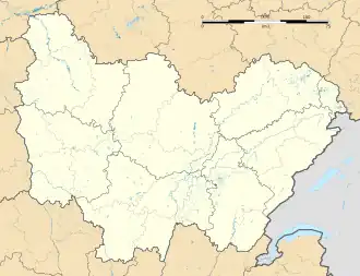 Tazilly | |
| Coordinates: 46°46′00″N 3°54′55″E / 46.7667°N 3.9153°E | |
| Country | France |
| Region | Bourgogne-Franche-Comté |
| Department | Nièvre |
| Arrondissement | Château-Chinon |
| Canton | Luzy |
| Government | |
| • Mayor (2020–2026) | Pascal Guerin[1] |
Area 1 | 25.81 km2 (9.97 sq mi) |
| Population (2022)[2] | 184 |
| • Density | 7.1/km2 (18/sq mi) |
| Time zone | UTC+01:00 (CET) |
| • Summer (DST) | UTC+02:00 (CEST) |
| INSEE/Postal code | 58287 /58170 |
| Elevation | 274–432 m (899–1,417 ft) |
| 1 French Land Register data, which excludes lakes, ponds, glaciers > 1 km2 (0.386 sq mi or 247 acres) and river estuaries. | |
Tazilly is a commune in the Nièvre department in the Bourgogne-Franche-Comté region of central France.[3] The inhabitants speak a dialect known as Tazillycois.
Demographics
On 1 January 2019, the estimated population was 191.
Economy
The economy in Tazilly is mainly agricultural (breeding Charolais cattle) and tourism.
History
During the Gallo-Roman era, Tazilly was located on the Roman road linking Decize and Autun.
In 1855, part of the town of Tazilly became the town of Flety.
See also
References
- ^ "Répertoire national des élus: les maires". data.gouv.fr, Plateforme ouverte des données publiques françaises (in French). 2 December 2020.
- ^ "Populations de référence 2022" (in French). The National Institute of Statistics and Economic Studies. 19 December 2024.
- ^ INSEE commune file
Wikimedia Commons has media related to Tazilly.