Saint-Sulpice, Nièvre
Saint-Sulpice | |
|---|---|
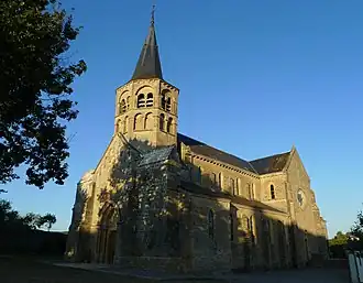 The church in Saint-Sulpice | |
Location of Saint-Sulpice | |
 Saint-Sulpice 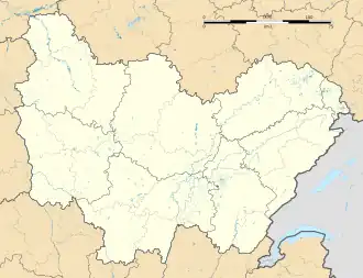 Saint-Sulpice | |
| Coordinates: 47°03′22″N 3°20′54″E / 47.0561°N 3.3483°E | |
| Country | France |
| Region | Bourgogne-Franche-Comté |
| Department | Nièvre |
| Arrondissement | Nevers |
| Canton | Guérigny |
| Government | |
| • Mayor (2020–2026) | Jean-Luc Cottenot[1] |
Area 1 | 25.71 km2 (9.93 sq mi) |
| Population (2022)[2] | 418 |
| • Density | 16/km2 (42/sq mi) |
| Time zone | UTC+01:00 (CET) |
| • Summer (DST) | UTC+02:00 (CEST) |
| INSEE/Postal code | 58269 /58270 |
| Elevation | 233–441 m (764–1,447 ft) |
| 1 French Land Register data, which excludes lakes, ponds, glaciers > 1 km2 (0.386 sq mi or 247 acres) and river estuaries. | |
Saint-Sulpice (French pronunciation: [sɛ̃ sylpis] ⓘ; Berrichon: Saint-Spi) is a commune in the Nièvre department in central France.[3]
History
The Romans built the Roman road from Nevers to Alluy, of which only a few sections remain towards Sury in Saint-Jean-aux-Amognes and the place called the Forest in the town.
During the revolutionary period of the National Convention (1792–1795), the town bore the name of Roche-la-Montagne.
Demographics
| Year | Pop. | ±% p.a. |
|---|---|---|
| 1968 | 405 | — |
| 1975 | 330 | −2.88% |
| 1982 | 338 | +0.34% |
| 1990 | 407 | +2.35% |
| 1999 | 433 | +0.69% |
| 2009 | 460 | +0.61% |
| 2014 | 425 | −1.57% |
| 2020 | 420 | −0.20% |
| Source: INSEE[4] | ||
See also
References
- ^ "Répertoire national des élus: les maires". data.gouv.fr, Plateforme ouverte des données publiques françaises (in French). 2 December 2020.
- ^ "Populations de référence 2022" (in French). The National Institute of Statistics and Economic Studies. 19 December 2024.
- ^ INSEE commune file
- ^ Population en historique depuis 1968, INSEE
Wikimedia Commons has media related to Saint-Sulpice (Nièvre).