Spituk
Spituk | |
|---|---|
Census Town | |
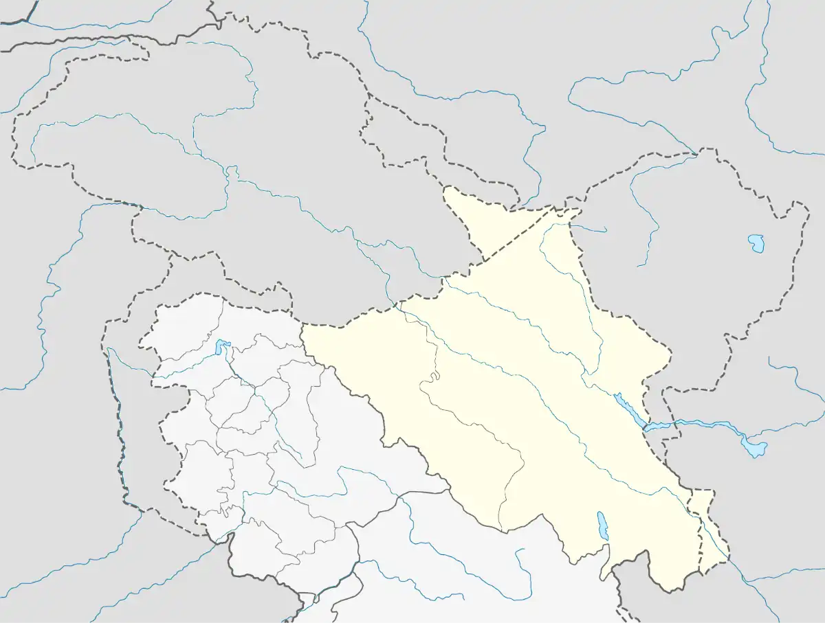 Spituk Location in Ladakh  Spituk Spituk (India) | |
| Coordinates: 34°06′55″N 77°33′17″E / 34.1152448°N 77.554777°E | |
| Country | India |
| Union territory | Ladakh |
| District | Leh |
| Tehsil | Leh |
| Population (2011)[1] | |
• Total | 4,047 |
| Languages | |
| • Official | Hindi, English |
| Time zone | UTC+5:30 (IST) |
Spituk or Spaythub is a census town located in the Leh district of Ladakh, India.
References
- ^ "District Census Handbook - Leh" (PDF). Directorate of Census Operations. 2011. Retrieved 7 February 2020.
| State symbols | |||||||||||||||||||
|---|---|---|---|---|---|---|---|---|---|---|---|---|---|---|---|---|---|---|---|
| History |
| ||||||||||||||||||
| Administration | |||||||||||||||||||
| Geography |
| ||||||||||||||||||
| Human settlements | |||||||||||||||||||
| Culture |
| ||||||||||||||||||
| Tourism and wildlife |
| ||||||||||||||||||
| Transport |
| ||||||||||||||||||
| Infrastructure |
| ||||||||||||||||||
| See also |
| ||||||||||||||||||