Lakjung
Lakjung | |
|---|---|
Village | |
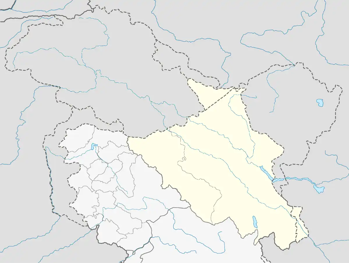 Lakjung Location in Ladakh, India  Lakjung Lakjung (India) | |
| Coordinates: 34°31′13″N 77°43′40″E / 34.5201835°N 77.7276687°E | |
| Country | India |
| Union Territory | Ladakh |
| District | Leh |
| Tehsil | Nubra |
| Elevation | 3,777 m (12,392 ft) |
| Population (2011) | |
• Total | 514 |
| Time zone | UTC+5:30 (IST) |
| 2011 census code | 933 |
Lakjung is a village in the Leh district of Ladakh, India.[1] It is located in the Nubra tehsil.
Demographics
According to the 2011 census of India, Lakjung has 105 households. The effective literacy rate (i.e. the literacy rate of population excluding children aged 6 and below) is 60.61%.[2]
| Total | Male | Female | |
|---|---|---|---|
| Population | 514 | 226 | 288 |
| Children aged below 6 years | 57 | 28 | 29 |
| Scheduled caste | 2 | 2 | 0 |
| Scheduled tribe | 511 | 223 | 288 |
| Literates | 277 | 139 | 138 |
| Workers (all) | 201 | 143 | 58 |
| Main workers (total) | 107 | 52 | 55 |
| Main workers: Cultivators | 49 | 18 | 31 |
| Main workers: Agricultural labourers | 0 | 0 | 0 |
| Main workers: Household industry workers | 1 | 1 | 0 |
| Main workers: Other | 57 | 33 | 24 |
| Marginal workers (total) | 94 | 91 | 3 |
| Marginal workers: Cultivators | 74 | 72 | 2 |
| Marginal workers: Agricultural labourers | 0 | 0 | 0 |
| Marginal workers: Household industry workers | 0 | 0 | 0 |
| Marginal workers: Others | 20 | 19 | 1 |
| Non-workers | 313 | 83 | 230 |
References
- ^ "Blockwise Village Amenity Directory" (PDF). Ladakh Autonomous Hill Development Council. Retrieved 23 July 2015.
- ^ a b "Leh district census". 2011 Census of India. Directorate of Census Operations. Retrieved 23 July 2015.
| State symbols | |||||||||||||||||||
|---|---|---|---|---|---|---|---|---|---|---|---|---|---|---|---|---|---|---|---|
| History |
| ||||||||||||||||||
| Administration | |||||||||||||||||||
| Geography |
| ||||||||||||||||||
| Human settlements | |||||||||||||||||||
| Culture |
| ||||||||||||||||||
| Tourism and wildlife |
| ||||||||||||||||||
| Transport |
| ||||||||||||||||||
| Infrastructure |
| ||||||||||||||||||
| See also |
| ||||||||||||||||||