Sault, Vaucluse
Sault
Saut (Occitan) | |
|---|---|
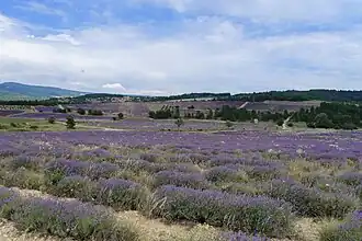 Lavender fields in Sault | |
.svg.png) Coat of arms | |
Location of Sault | |
 Sault 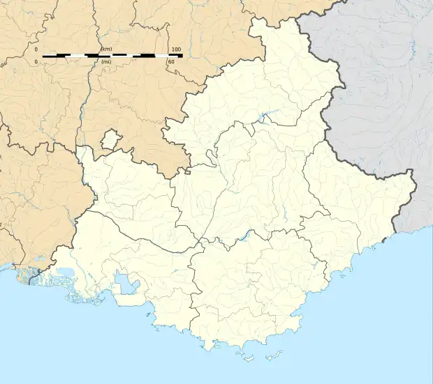 Sault | |
| Coordinates: 44°05′31″N 5°24′29″E / 44.0919°N 5.408°E | |
| Country | France |
| Region | Provence-Alpes-Côte d'Azur |
| Department | Vaucluse |
| Arrondissement | Carpentras |
| Canton | Pernes-les-Fontaines |
| Intercommunality | Ventoux Sud |
| Government | |
| • Mayor (2020–2026) | Claude Labro[1] |
Area 1 | 111.15 km2 (42.92 sq mi) |
| Population (2022)[2] | 1,348 |
| • Density | 12/km2 (31/sq mi) |
| Demonym | Saltésiens |
| Time zone | UTC+01:00 (CET) |
| • Summer (DST) | UTC+02:00 (CEST) |
| INSEE/Postal code | 84123 /84390 |
| Elevation | 650–1,591 m (2,133–5,220 ft) (avg. 760 m or 2,490 ft) |
| Website | mairie-sault-84.fr |
| 1 French Land Register data, which excludes lakes, ponds, glaciers > 1 km2 (0.386 sq mi or 247 acres) and river estuaries. | |
Sault (French pronunciation: [so]; Occitan: Saut), also known as Sault-en-Provence, is a commune in the Vaucluse department in the southeastern Provence-Alpes-Côte d'Azur French region. It is located just north of the Luberon massif, not far from the departmental border with Drôme to the north and Alpes-de-Haute-Provence to the east. In 2021, Sault had a population of 1,354.
See also
References
- ^ "Répertoire national des élus: les maires" (in French). data.gouv.fr, Plateforme ouverte des données publiques françaises. 13 September 2022.
- ^ "Populations de référence 2022" (in French). The National Institute of Statistics and Economic Studies. 19 December 2024.
Wikimedia Commons has media related to Sault (Vaucluse).