Ruca, Côtes-d'Armor
Ruca
Ruskad | |
|---|---|
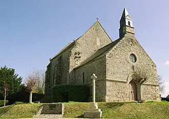 The chapel of Ruca in 2012 | |
Location of Ruca | |
 Ruca  Ruca | |
| Coordinates: 48°34′05″N 2°20′17″W / 48.5681°N 2.3381°W | |
| Country | France |
| Region | Brittany |
| Department | Côtes-d'Armor |
| Arrondissement | Dinan |
| Canton | Pléneuf-Val-André |
| Intercommunality | Dinan Agglomération |
| Government | |
| • Mayor (2020–2026) | Dominique Perche[1] |
Area 1 | 12.13 km2 (4.68 sq mi) |
| Population (2022)[2] | 596 |
| • Density | 49/km2 (130/sq mi) |
| Time zone | UTC+01:00 (CET) |
| • Summer (DST) | UTC+02:00 (CEST) |
| INSEE/Postal code | 22268 /22550 |
| Elevation | 22–79 m (72–259 ft) (avg. 45 m or 148 ft) |
| 1 French Land Register data, which excludes lakes, ponds, glaciers > 1 km2 (0.386 sq mi or 247 acres) and river estuaries. | |
Ruca (French pronunciation: [ʁyka]; Breton: Ruskad) is a commune in the Côtes-d'Armor department in Brittany in northwestern France.
Population
| Year | Pop. | ±% |
|---|---|---|
| 1962 | 676 | — |
| 1968 | 637 | −5.8% |
| 1975 | 582 | −8.6% |
| 1982 | 578 | −0.7% |
| 1990 | 544 | −5.9% |
| 1999 | 504 | −7.4% |
| 2008 | 522 | +3.6% |
Inhabitants of Ruca are called rucassiens in French.
See also
References
- ^ "Répertoire national des élus: les maires". data.gouv.fr, Plateforme ouverte des données publiques françaises (in French). 2 December 2020.
- ^ "Populations de référence 2022" (in French). The National Institute of Statistics and Economic Studies. 19 December 2024.
External links
Wikimedia Commons has media related to Ruca.
- Base Mérimée: Search for heritage in the commune, Ministère français de la Culture. (in French)