Na-hpan
Na-hpan | |
|---|---|
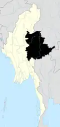
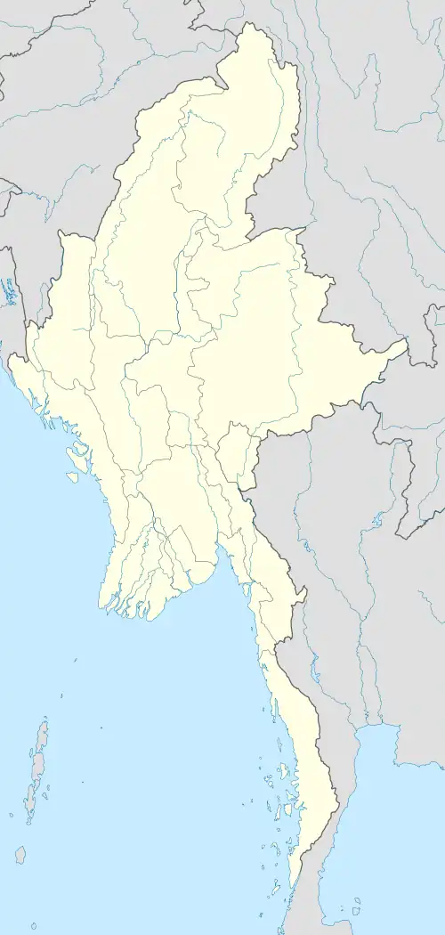 Na-hpan Location in Burma | |
| Coordinates: 22°39′6″N 97°52′30″E / 22.65167°N 97.87500°E | |
| Country | |
| Division | Shan State |
| District | Lashio District |
| Township | Mongyai Township |
| Elevation | 1,991 ft (607 m) |
| Population | |
| • Ethnicities | Shan |
| Time zone | UTC+6.30 (MST) |
Na-hpan[1] is a village in Mongyai Township, Shan State.[2]
Geography
Na-hpan is located west of the Salween, 20 km to the west of Loi Leng mountain.[3]
References
- ^ "Na-hpan". Mapcarta. Retrieved 20 May 2016.
- ^ "Shan State". Archived from the original on 2017-01-26. Retrieved 2016-05-20.
- ^ GoogleEarth