Mouhet
Mouhet | |
|---|---|
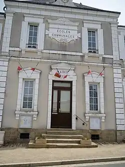 The town hall in Mouhet | |
Location of Mouhet | |
 Mouhet 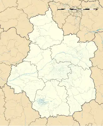 Mouhet | |
| Coordinates: 46°23′02″N 1°26′03″E / 46.3839°N 1.4342°E | |
| Country | France |
| Region | Centre-Val de Loire |
| Department | Indre |
| Arrondissement | Le Blanc |
| Canton | Saint-Gaultier |
| Government | |
| • Mayor (2020–2026) | Jean-Christophe Plantureux[1] |
Area 1 | 32.26 km2 (12.46 sq mi) |
| Population (2022)[2] | 411 |
| • Density | 13/km2 (33/sq mi) |
| Time zone | UTC+01:00 (CET) |
| • Summer (DST) | UTC+02:00 (CEST) |
| INSEE/Postal code | 36134 /36170 |
| Elevation | 237–344 m (778–1,129 ft) (avg. 260 m or 850 ft) |
| 1 French Land Register data, which excludes lakes, ponds, glaciers > 1 km2 (0.386 sq mi or 247 acres) and river estuaries. | |
Mouhet (French pronunciation: [mu.ɛ]) is a commune in the Indre department in central France.
Geography
The Anglin flows northwest through the middle of the commune and crosses the village.
Population
| Year | Pop. | ±% p.a. |
|---|---|---|
| 1968 | 827 | — |
| 1975 | 777 | −0.89% |
| 1982 | 645 | −2.62% |
| 1990 | 528 | −2.47% |
| 1999 | 478 | −1.10% |
| 2009 | 511 | +0.67% |
| 2014 | 513 | +0.08% |
| 2020 | 396 | −4.22% |
| Source: INSEE[3] | ||
See also
References
- ^ "Répertoire national des élus: les maires". data.gouv.fr, Plateforme ouverte des données publiques françaises (in French). 9 August 2021.
- ^ "Populations de référence 2022" (in French). The National Institute of Statistics and Economic Studies. 19 December 2024.
- ^ Population en historique depuis 1968, INSEE
Wikimedia Commons has media related to Mouhet.