Pommiers, Indre
Pommiers | |
|---|---|
.JPG) Town hall | |
Location of Pommiers | |
 Pommiers 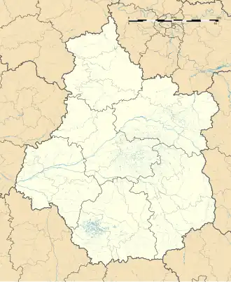 Pommiers | |
| Coordinates: 46°31′19″N 1°39′12″E / 46.522°N 1.6534°E | |
| Country | France |
| Region | Centre-Val de Loire |
| Department | Indre |
| Arrondissement | Châteauroux |
| Canton | Argenton-sur-Creuse |
| Government | |
| • Mayor (2020–2026) | Alain Gourinat[1] |
Area 1 | 12.19 km2 (4.71 sq mi) |
| Population (2022)[2] | 228 |
| • Density | 19/km2 (48/sq mi) |
| Time zone | UTC+01:00 (CET) |
| • Summer (DST) | UTC+02:00 (CEST) |
| INSEE/Postal code | 36160 /36190 |
| Elevation | 196–280 m (643–919 ft) (avg. 250 m or 820 ft) |
| 1 French Land Register data, which excludes lakes, ponds, glaciers > 1 km2 (0.386 sq mi or 247 acres) and river estuaries. | |
Pommiers (French pronunciation: [pɔmje]) is a commune in the Indre department in central France.
Population
| Year | Pop. | ±% p.a. |
|---|---|---|
| 1968 | 405 | — |
| 1975 | 367 | −1.40% |
| 1982 | 322 | −1.85% |
| 1990 | 279 | −1.78% |
| 1999 | 268 | −0.45% |
| 2009 | 272 | +0.15% |
| 2014 | 280 | +0.58% |
| 2020 | 210 | −4.68% |
| Source: INSEE[3] | ||
See also
References
- ^ "Répertoire national des élus: les maires". data.gouv.fr, Plateforme ouverte des données publiques françaises (in French). 2 December 2020.
- ^ "Populations de référence 2022" (in French). The National Institute of Statistics and Economic Studies. 19 December 2024.
- ^ Population en historique depuis 1968, INSEE
Wikimedia Commons has media related to Pommiers (Indre).