Mesztegnyő
Mesztegnyő | |
|---|---|
Village | |
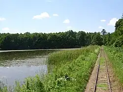 Fish pond next to the railway | |
 Coat of arms | |
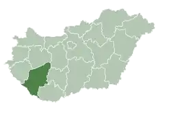
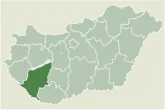 Location of Somogy county in Hungary | |
 Mesztegnyő Location of Mesztegnyő | |
| Coordinates: 46°29′54″N 17°25′31″E / 46.49821°N 17.42526°E | |
| Country | |
| Region | Southern Transdanubia |
| County | Somogy |
| District | Marcali |
| RC Diocese | Kaposvár |
| Area | |
• Total | 44.71 km2 (17.26 sq mi) |
| Population (2017) | |
• Total | 1,349[1] |
| Demonym | mesztegnyői |
| Time zone | UTC+1 (CET) |
| • Summer (DST) | UTC+2 (CEST) |
| Postal code | 8716 |
| Area code | (+36) 85 |
| NUTS 3 code | HU232 |
| MP | József Attila Móring (KDNP) |
| Website | Mesztegnyő Online |
Mesztegnyő is a village in Somogy county, Hungary.
External links
- Street map (in Hungarian)
References