Sántos
Sántos | |
|---|---|
Village | |
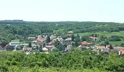 View of Sántos | |
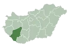
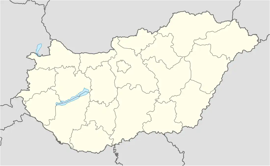
 Location of Somogy county in Hungary | |
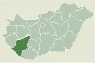
 Sántos Location of Sántos | |
| Coordinates: 46°20′53″N 17°52′48″E / 46.34792°N 17.88004°E | |
| Country | |
| Region | Southern Transdanubia |
| County | Somogy |
| District | Kaposvár |
| RC Diocese | Kaposvár |
| Area | |
• Total | 11.38 km2 (4.39 sq mi) |
| Population (2017) | |
• Total | 521[1] |
| Demonym | sántosi |
| Time zone | UTC+1 (CET) |
| • Summer (DST) | UTC+2 (CEST) |
| Postal code | 7479 |
| Area code | (+36) 82 |
| NUTS 3 code | HU232 |
| MP | Attila Gelencsér (Fidesz) |
| Website | Sántos Online |
Sántos is a village in Somogy county, Hungary.
History
According to László Szita the settlement was completely Hungarian in the 18th century.[2]
External links
References