Mühldorf, Lower Austria
Mühldorf | |
|---|---|
.JPG) Aerial view of Oberranna Castle in Mühldorf | |
 Coat of arms | |
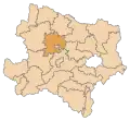
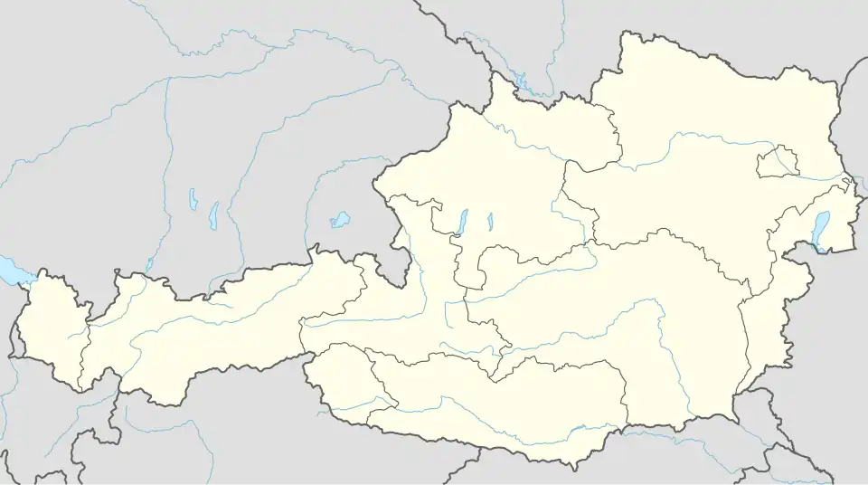 Mühldorf Location within Austria | |
| Coordinates: 48°22′N 15°21′E / 48.367°N 15.350°E | |
| Country | Austria |
| State | Lower Austria |
| District | Krems-Land |
| Government | |
| • Mayor | Manfred Hackl |
| Area | |
• Total | 28.45 km2 (10.98 sq mi) |
| Elevation | 360 m (1,180 ft) |
| Population (2018-01-01)[2] | |
• Total | 1,331 |
| • Density | 47/km2 (120/sq mi) |
| Time zone | UTC+1 (CET) |
| • Summer (DST) | UTC+2 (CEST) |
| Postal code | 3622 |
| Area code | 02713 |
| Website | www.muehldorf-wachau.at |
Mühldorf is a town in the district of Krems-Land in the Austrian state of Lower Austria.
Population
| Year | Pop. | ±% |
|---|---|---|
| 1971 | 1,540 | — |
| 1981 | 1,453 | −5.6% |
| 1991 | 1,474 | +1.4% |
| 2001 | 1,443 | −2.1% |
| 2011 | 1,389 | −3.7% |
References
- ^ "Dauersiedlungsraum der Gemeinden Politischen Bezirke und Bundesländer - Gebietsstand 1.1.2018". Statistics Austria. Retrieved 10 March 2019.
- ^ "Einwohnerzahl 1.1.2018 nach Gemeinden mit Status, Gebietsstand 1.1.2018". Statistics Austria. Retrieved 9 March 2019.