Senftenberg, Austria
Senftenberg | |
|---|---|
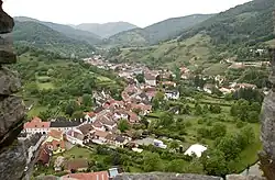 Senftenberg seen from Burgruine Senftenberg | |
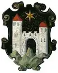 Coat of arms | |
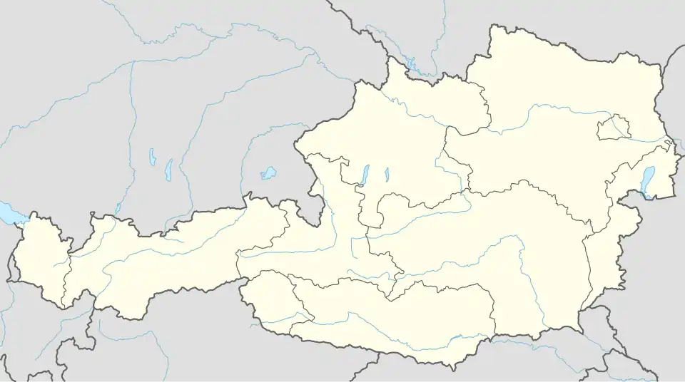 Senftenberg Location within Austria | |
| Coordinates: 48°26′N 15°33′E / 48.433°N 15.550°E | |
| Country | Austria |
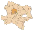
| State | Lower Austria |
| District | Krems-Land |
| Government | |
| • Mayor | Markus Klamminger (ÖVP) |
| Area | |
• Total | 34.77 km2 (13.42 sq mi) |
| Elevation | 254 m (833 ft) |
| Population (2018-01-01)[2] | |
• Total | 1,977 |
| • Density | 57/km2 (150/sq mi) |
| Time zone | UTC+1 (CET) |
| • Summer (DST) | UTC+2 (CEST) |
| Postal code | 3541 |
| Area code | 02719 |
| Website | www.senftenberg.at |
Senftenberg is a town in the district of Krems-Land in the Austrian state of Lower Austria.
Geography
The municipality consists of six subdivisions:[3]
- Imbach (population: 580)
- Meislingeramt (population: 55)
- Priel (population: 123)
- Reichaueramt (population: 60)
- Senftenberg (population: 1046)
- Senftenbergeramt (population: 107)
Population
| Year | Pop. | ±% |
|---|---|---|
| 1869 | 1,694 | — |
| 1880 | 1,634 | −3.5% |
| 1890 | 1,654 | +1.2% |
| 1900 | 1,776 | +7.4% |
| 1910 | 2,015 | +13.5% |
| 1923 | 1,965 | −2.5% |
| 1934 | 1,907 | −3.0% |
| 1939 | 1,922 | +0.8% |
| 1951 | 2,017 | +4.9% |
| 1961 | 1,875 | −7.0% |
| 1971 | 1,937 | +3.3% |
| 1981 | 1,986 | +2.5% |
| 1991 | 2,067 | +4.1% |
| 2001 | 1,971 | −4.6% |
| 2011 | 1,937 | −1.7% |
_-_Kirche_und_Pfarrhof.JPG)
Sights
References
- ^ "Dauersiedlungsraum der Gemeinden Politischen Bezirke und Bundesländer - Gebietsstand 1.1.2018". Statistics Austria. Retrieved 10 March 2019.
- ^ "Einwohnerzahl 1.1.2018 nach Gemeinden mit Status, Gebietsstand 1.1.2018". Statistics Austria. Retrieved 9 March 2019.
- ^ Statistik Austria, Bevölkerung am 1.1.2015 nach Ortschaften
- ^ Statistik Austria, Ein Blick auf die Gemeinde Senftenberg
External links
Wikimedia Commons has media related to Senftenberg, Lower Austria.