Louplande
Louplande | |
|---|---|
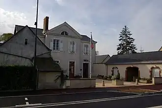 The town hall of Louplande | |
Location of Louplande | |
 Louplande 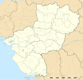 Louplande | |
| Coordinates: 47°56′41″N 0°02′32″E / 47.9447°N 0.0422°E | |
| Country | France |
| Region | Pays de la Loire |
| Department | Sarthe |
| Arrondissement | La Flèche |
| Canton | La Suze-sur-Sarthe |
| Intercommunality | Val de Sarthe |
| Government | |
| • Mayor (2020–2026) | Noël Tellier[1] |
Area 1 | 18.43 km2 (7.12 sq mi) |
| Population (2022)[2] | 1,496 |
| • Density | 81/km2 (210/sq mi) |
| Time zone | UTC+01:00 (CET) |
| • Summer (DST) | UTC+02:00 (CEST) |
| INSEE/Postal code | 72169 /72210 |
| 1 French Land Register data, which excludes lakes, ponds, glaciers > 1 km2 (0.386 sq mi or 247 acres) and river estuaries. | |
Louplande (French pronunciation: [luplɑ̃d]) is a commune in the Sarthe department in the region of Pays de la Loire in north-western France.
See also
References
- ^ "Répertoire national des élus: les maires". data.gouv.fr, Plateforme ouverte des données publiques françaises (in French). 2 December 2020.
- ^ "Populations de référence 2022" (in French). The National Institute of Statistics and Economic Studies. 19 December 2024.
Wikimedia Commons has media related to Louplande.