Le Guislain
Le Guislain | |
|---|---|
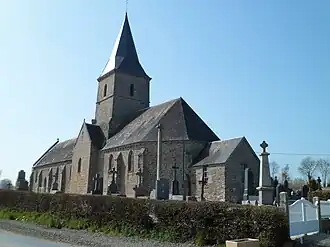 The church of Saint-Pierre | |
Location of Le Guislain | |
 Le Guislain  Le Guislain | |
| Coordinates: 48°58′22″N 1°13′38″W / 48.9728°N 1.2272°W | |
| Country | France |
| Region | Normandy |
| Department | Manche |
| Arrondissement | Saint-Lô |
| Canton | Villedieu-les-Poêles-Rouffigny |
| Intercommunality | Villedieu Intercom |
| Government | |
| • Mayor (2020–2026) | Michel Lhullier[1] |
Area 1 | 5.39 km2 (2.08 sq mi) |
| Population (2022)[2] | 139 |
| • Density | 26/km2 (67/sq mi) |
| Demonym | Guislenais |
| Time zone | UTC+01:00 (CET) |
| • Summer (DST) | UTC+02:00 (CEST) |
| INSEE/Postal code | 50225 /50410 |
| Elevation | 100–141 m (328–463 ft) |
| 1 French Land Register data, which excludes lakes, ponds, glaciers > 1 km2 (0.386 sq mi or 247 acres) and river estuaries. | |
Le Guislain (French pronunciation: [lə ɡilɛ̃]) is a commune in the Manche department in north-western France.
In 2019, it had a population of 143.
See also
References
- ^ "Répertoire national des élus: les maires". data.gouv.fr, Plateforme ouverte des données publiques françaises (in French). 2 December 2020.
- ^ "Populations de référence 2022" (in French). The National Institute of Statistics and Economic Studies. 19 December 2024.
Wikimedia Commons has media related to Le Guislain.