Pestel, Haiti
Pestel
Pestèl | |
|---|---|
 Pestel | |
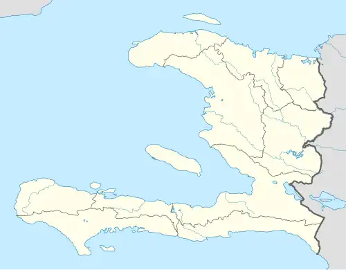 Pestel Location in Haiti | |
| Coordinates: 18°32′0″N 73°48′0″W / 18.53333°N 73.80000°W | |
| Country | |
| Department | Grand'Anse |
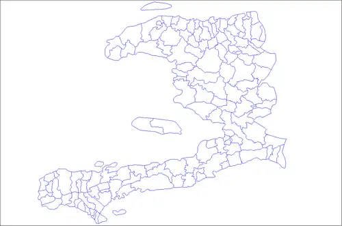
| Arrondissement | Corail |
| Area | |
• Total | 286.77 km2 (110.72 sq mi) |
| Elevation | 31 m (102 ft) |
| Population (2015)[1] | |
• Total | 44,659 |
| • Density | 160/km2 (400/sq mi) |
| Time zone | UTC−05:00 (EST) |
| • Summer (DST) | UTC−04:00 (EDT) |
| Postal code | HT 7340 |
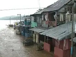
Pestel (French pronunciation: [pɛstɛl]; Haitian Creole: Pestèl) is a commune in the Corail Arrondissement, in the Grand'Anse department of Haiti. It has 44,659 inhabitants in 2015. The commune also includes the Cayemite Islands.
Locations in Pestèl
Mainland: Bourjoly, Fond Gondai, Jean Bellune, Joly Guirbert, La Salle, La Source, Lere de L'Eau, Nan Dane, Nan Palmiste, Paviton, Pestèl and Plane Martin, Glode.
Grande Cayemite: Anse a Macon, Anse du Nord, Au Bord de l'Etang, Mare Citron, Nan Palmis and Pointe Sable.
References
- ^ "Mars 2015 Population Totale, Population de 18 ans et Plus Menages et Densites Estimes en 2015" (PDF). Institut Haïtien de Statistique et d’Informatique (IHSI). Archived from the original (PDF) on 6 November 2015. Retrieved 3 June 2017.