Hegebeintum
Hegebeintum
Hogebeintum | |
|---|---|
Village | |
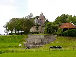 Church and dwarf of Hegebeintum | |
 Flag  Coat of arms | |
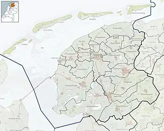
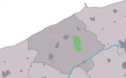 Location in the former Ferwerderadiel municipality | |
 Hegebeintum Location in the Netherlands 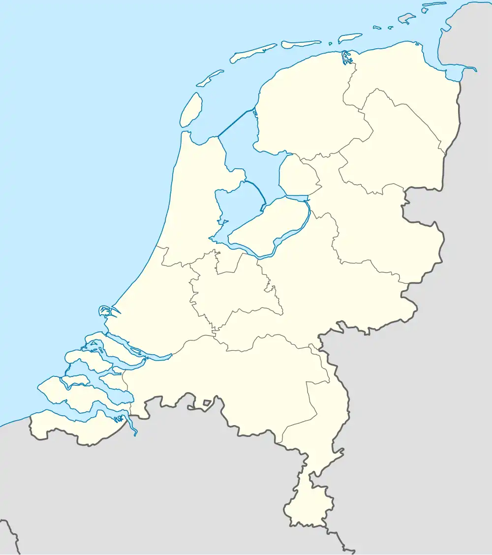 Hegebeintum Hegebeintum (Netherlands) | |
| Coordinates: 53°20′12″N 5°50′58″E / 53.33667°N 5.84944°E | |
| Country | |
| Province | |
| Municipality | Noardeast-Fryslân |
| Area | |
• Total | 3.89 km2 (1.50 sq mi) |
| Elevation | 0.5 m (1.6 ft) |
| Population (2021)[1] | |
• Total | 85 |
| • Density | 22/km2 (57/sq mi) |
| Postal code | 9022[1] |
| Dialing code | 0518 |
Hegebeintum (Dutch: Hogebeintum) is a small village in Noardeast-Fryslân in the province of Friesland, the Netherlands. It had a population of around 90 in January 2017.[3] Before 2019, the village was part of the Ferwerderadiel municipality.[4]
Hegebeintum is home to the highest artificial dwelling hill, or terp, in the Netherlands, measuring around 8.8 metres (29 ft) tall.[4] The high ground of the terp was historically used as a place of refuge during unusually high tides and storm floods, and also had a number of dwellings. There is a well-known restored windmill located south of the village: the Hegebeintumer Mûne.
History
The village was first mentioned between 819 and c. 825 as Bintheim, and means "high settlement with moor grass (Molinia).[5] Hegebeintum is a terp village with a near perfect radial structure. It developed several centuries before Christ. The Dutch Reformed church dates from the 12th century. It was enlarged around 1550. The 13th-century tower was rebuilt in 1717 with yellow bricks.[6]
The polder mill Hegebeintumer Mûne was built in 1860. In 1969, it was decommissioned, because nobody was willing to move to Hegebeintum to operate wind mill, and a pumping station was installed. In 2006, it has been designated as a backup system.[7]
In 1840, Hegebeintum was home to 190 people.[4] Between 1896 and 1905, parts of the terp were excavated which has resulted in a very steep hill.[6] The old terp used to cover 9.5 hectares (23 acres).[4]
Gallery
-
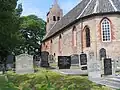 Hegebeintum church
 -
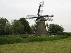 Hegebeintumer Mûne
 -
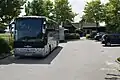 Tour buses in Hegebeintum
 -
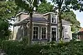 House in Hegebeintum
References
- ^ a b c "Kerncijfers wijken en buurten 2021". Central Bureau of Statistics. Retrieved 31 March 2022.
- ^ "Postcodetool for 9173AA". Actueel Hoogtebestand Nederland (in Dutch). Het Waterschapshuis. Retrieved 31 March 2022.
- ^ Aantal inwoners per woonplaats in Ferwerderadiel op 1 januari 2017 Archived 2017-10-21 at the Wayback Machine - Ferwerderadiel
- ^ a b c d "Hegebeintum". Plaatsengids (in Dutch). Retrieved 31 March 2022.
- ^ "Hegebeintum - (geografische naam)". Etymologiebank (in Dutch). Retrieved 31 March 2022.
- ^ a b Ronald Stenvert & Sabine Broekhoven (2000). "Hegebeintum" (in Dutch). Zwolle: Waanders. ISBN 90 400 9476 4. Retrieved 31 March 2022.
- ^ "Hegebeintumer Mûne / De Hogebeintumermolen". Molen database (in Dutch). Retrieved 31 March 2022.
External links
![]() Media related to Hegebeintum at Wikimedia Commons
Media related to Hegebeintum at Wikimedia Commons